Everett Water Pollution Control Facility, Everett
Map
Map

Facts and practical information
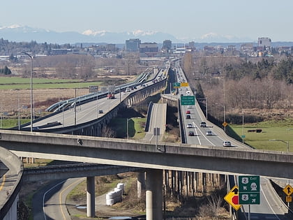
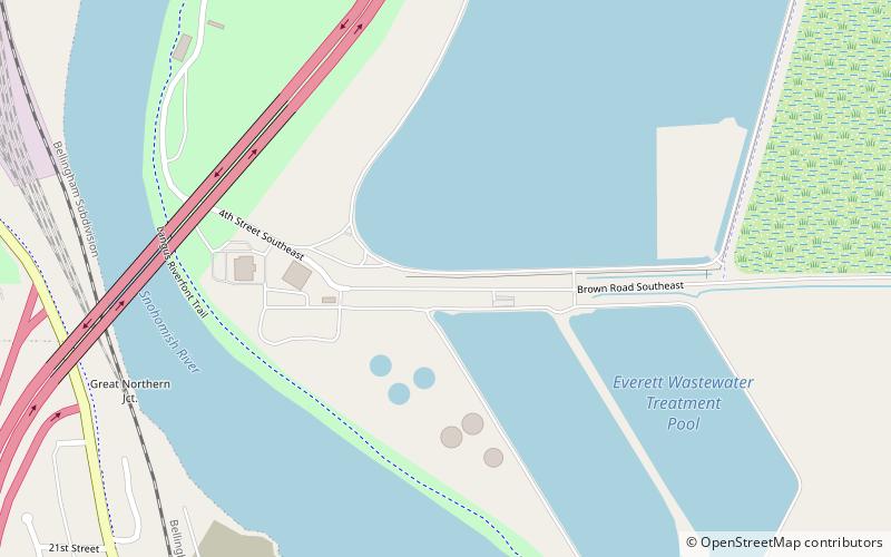
The Everett Water Pollution Control Facility is a wastewater treatment plant in Everett, Washington, United States. It serves the city of Everett and discharges treated water into the Snohomish River. The facility is located at the south end of Smith Island, adjacent to Interstate 5 and Spencer Island Regional Park, a noted birdwatching spot. ()
Coordinates: 47°59'35"N, 122°10'26"W
Address
Everett
ContactAdd
Social media
Add
Day trips
Everett Water Pollution Control Facility – popular in the area (distance from the attraction)
Nearby attractions include: Snohomish County Centennial Trail, Xfinity Arena, Legion Memorial Golf Course, Marysville Opera House.
Frequently Asked Questions (FAQ)
How to get to Everett Water Pollution Control Facility by public transport?
The nearest stations to Everett Water Pollution Control Facility:
Bus
Bus
- 23RD ST and SUMMIT AVE • Lines: 5 (16 min walk)
- WALNUT ST and 19TH ST • Lines: 29, 29 South, 4, 5 (19 min walk)


