Battery Heights Historic District, Raleigh

Gallery (1)
Map
Map
Facts and practical information
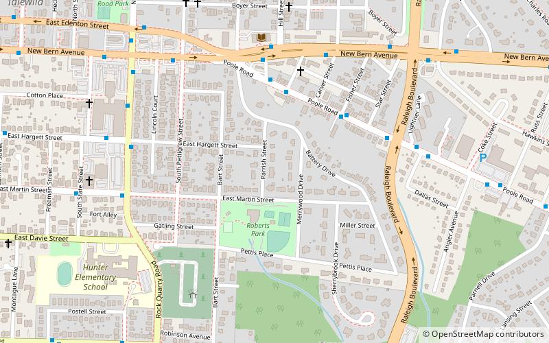
The Battery Heights Historic District is a historic neighborhood and national historic district located southeast of downtown Raleigh, North Carolina, USA. Named for the earthen batteries stationed in the area during the Civil War, the neighborhood has a suburban character, despite its close proximity to the city center. ()
Coordinates: 35°46'37"N, 78°37'4"W
Address
South Central Raleigh (Battery Heights)Raleigh
ContactAdd
Social media
Add
Getting there by public transportation
Public transportation stops near this location
- Bus
 Bus
Bus
- Calculate routePoole Rd at Heath St 4 min walk
Day trips


Frequently Asked Questions (FAQ)
Which popular attractions are close to Battery Heights Historic District?
Nearby attractions include Raleigh National Cemetery, Raleigh (7 min walk), William A. Curtis House, Raleigh (16 min walk), Historic Oakwood, Raleigh (16 min walk), City Cemetery, Raleigh (20 min walk).
How to get to Battery Heights Historic District by public transport?
The nearest stations to Battery Heights Historic District:
Bus
Bus
- Poole Rd at Heath St • Lines: 18, 18S (4 min walk)