McMillan Woods, Gettysburg

Map
Facts and practical information
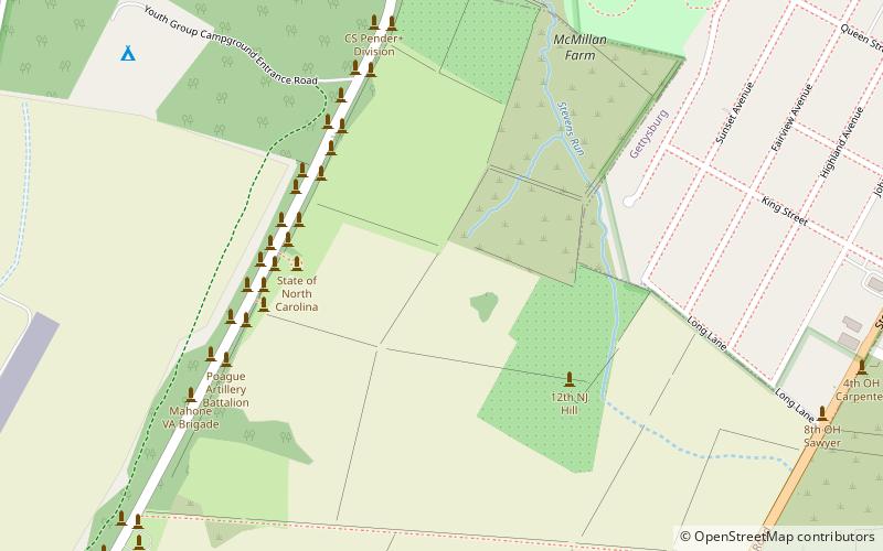
McMillan Woods is a Gettysburg Battlefield forested area used during the Battle of Gettysburg and for camps after the American Civil War, including a CCC camp and the subsequent WWII POW camp at Gettysburg. The woods includes Rifle Pits and Earth Works from the battle ()
Coordinates: 39°49'5"N, 77°14'40"W
Address
Gettysburg
ContactAdd
Social media
Add
Day trips
McMillan Woods – popular in the area (distance from the attraction)
Nearby attractions include: Pennsylvania State Memorial, 72nd Pennsylvania Infantry Monument, Gettysburg National Cemetery, Evergreen Cemetery.
Frequently Asked Questions (FAQ)
Which popular attractions are close to McMillan Woods?
Nearby attractions include North Carolina Monument, Gettysburg (4 min walk), 11th Mississippi Infantry Monument, Gettysburg (5 min walk), Virginia Monument, Gettysburg (11 min walk), Lincoln Train Museum, Gettysburg (13 min walk).
How to get to McMillan Woods by public transport?
The nearest stations to McMillan Woods:
Bus
Bus
- Gettysburg Transit Center (31 min walk)


