Keewaydin, Minneapolis
Map
Facts and practical information
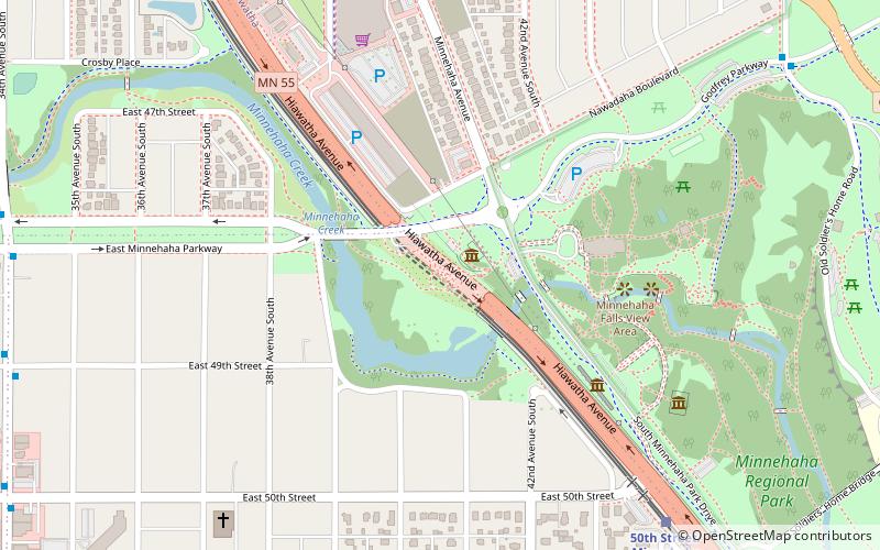
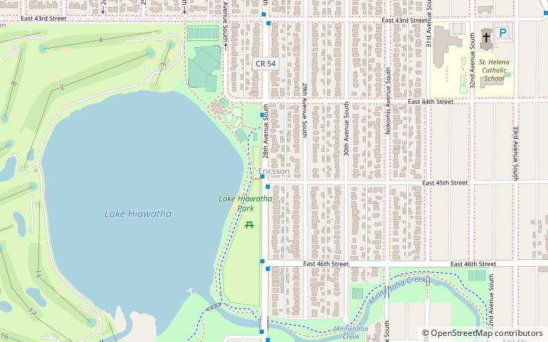
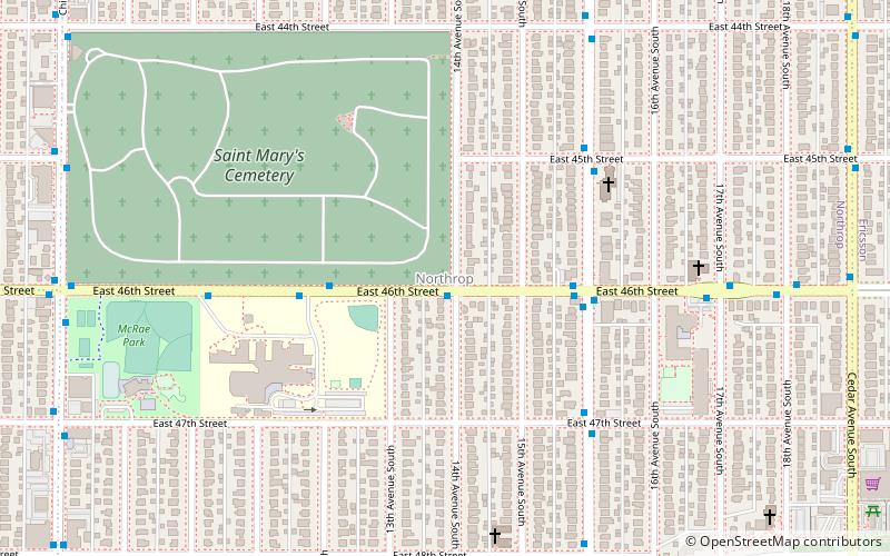
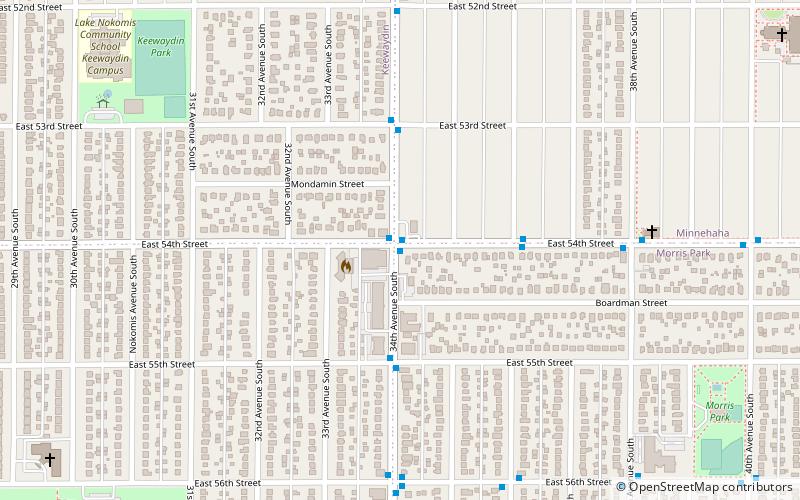
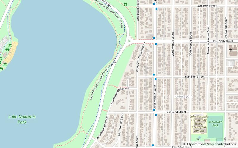
Keewaydin is a neighborhood in the Nokomis community in Minneapolis, Minnesota. Its boundaries are Minnehaha Parkway to the north, 34th Avenue to the east, 54th Street to the south, and Cedar Avenue to the west. The neighborhood contains the majority of Lake Nokomis. It shares a neighborhood organization with the Minnehaha, Morris Park, and Wenonah neighborhoods, which are collectively referred to as Nokomis East and served by the Nokomis East Neighborhood Association. ()
Area: 0.89 mi²Coordinates: 44°54'39"N, 93°14'5"W
Address
Nokomis (Keewaydin)Minneapolis
ContactAdd
Social media
Add
Day trips
Keewaydin – popular in the area (distance from the attraction)
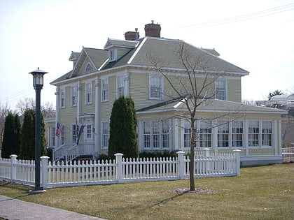
Nearby attractions include: Longfellow Gardens, Longfellow House, Lake Nokomis, Lake Hiawatha.
Frequently Asked Questions (FAQ)
Which popular attractions are close to Keewaydin?
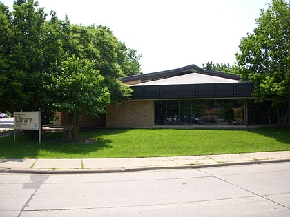
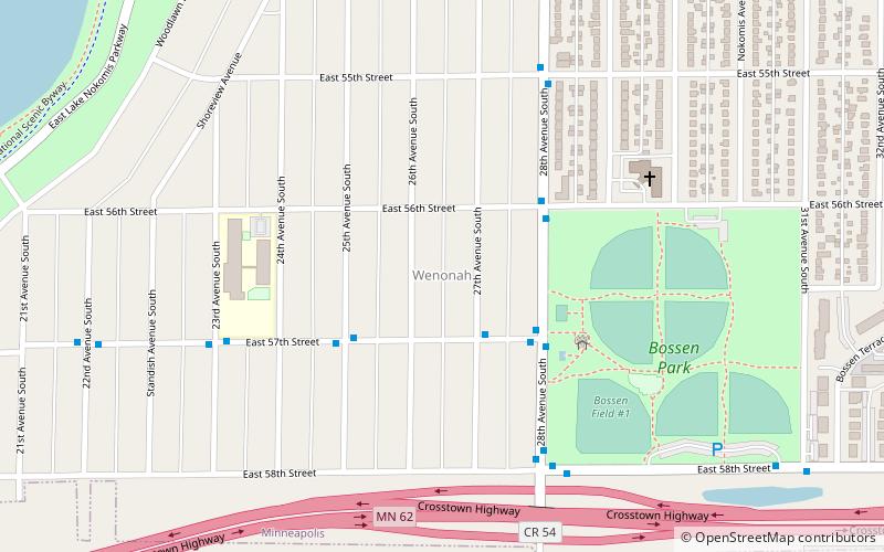
Nearby attractions include Lake Nokomis, Minneapolis (10 min walk), Nokomis Library, Minneapolis (15 min walk), Wenonah, Minneapolis (18 min walk), Lake Hiawatha, Minneapolis (18 min walk).
How to get to Keewaydin by public transport?
The nearest stations to Keewaydin:
Light rail
Bus
Light rail
- 46th Street • Lines: 901 (26 min walk)
Bus
- Gate A • Lines: A (26 min walk)
- 46th Street & Minnehaha Avenue • Lines: A (29 min walk)
