Fall Creek Place, Indianapolis

Map
Facts and practical information
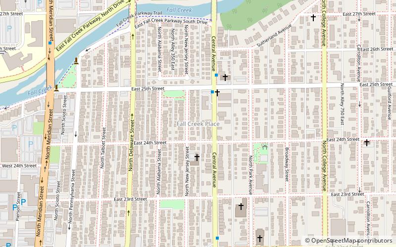
Fall Creek Place is one of many revitalized neighborhoods in inner Indianapolis, Indiana, United States. The neighborhood is bounded by Meridian Street on the west, Fall Creek Parkway on the north, just east of College Avenue on the east, and 22nd Street on the south. Before the project's Phase IV began in 2006, its eastern boundary was Park Avenue. ()
Coordinates: 39°48'6"N, 86°9'1"W
Address
North Side (Near Northside)Indianapolis
ContactAdd
Social media
Add
Day trips
Fall Creek Place – popular in the area (distance from the attraction)
Nearby attractions include: The Children's Museum of Indianapolis, Broad Ripple Park Carousel, Benjamin Harrison Presidential Site, Saints Peter and Paul Cathedral.
Frequently Asked Questions (FAQ)
Which popular attractions are close to Fall Creek Place?
Nearby attractions include George Kessler Park, Indianapolis (8 min walk), Herron Morton, Indianapolis (15 min walk), Epilogue Players, Indianapolis (17 min walk), Willard and Josephine Hubbard House, Indianapolis (19 min walk).
How to get to Fall Creek Place by public transport?
The nearest stations to Fall Creek Place:
Train
Train
- Methodist (30 min walk)


