116th Street, New York City
Map
Gallery
Facts and practical information
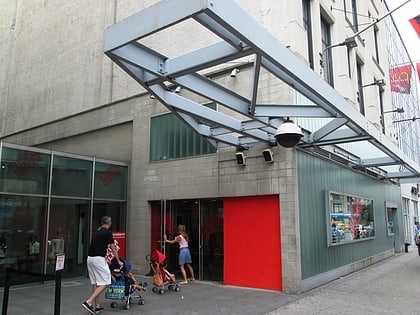
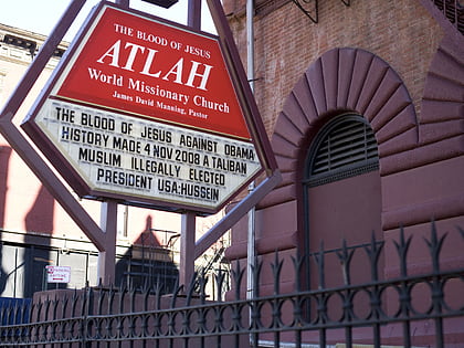
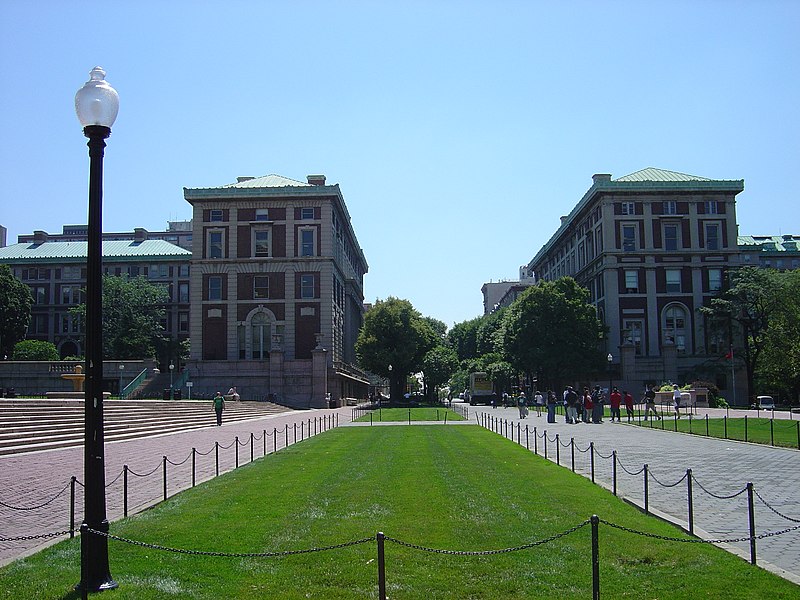
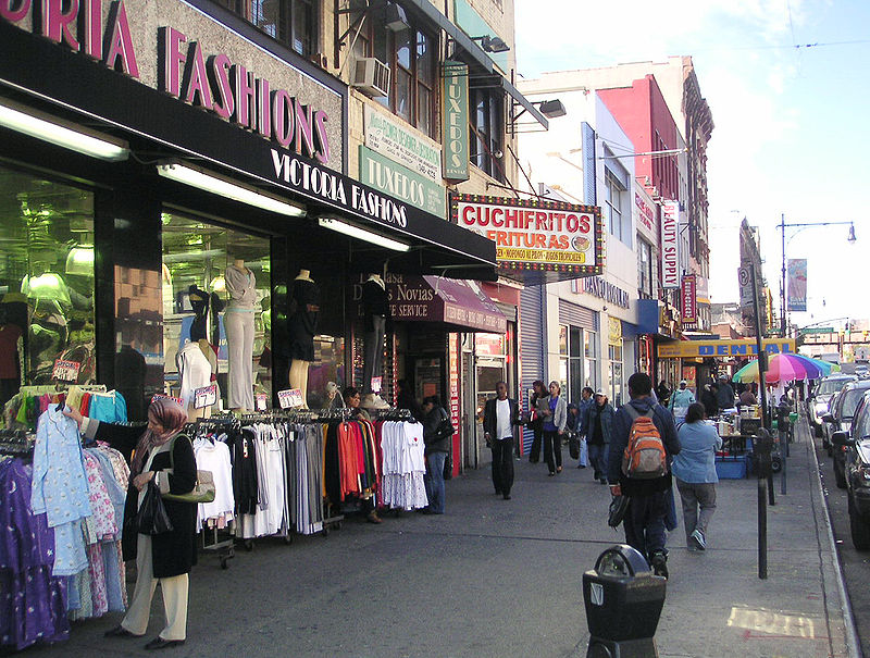
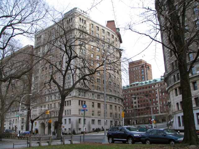
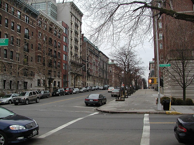
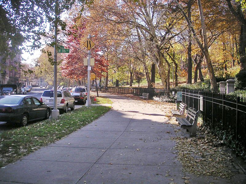
116th Street runs from Riverside Drive, overlooking the Hudson River, to the East River, through the New York City borough of Manhattan. It traverses the neighborhoods of Morningside Heights, Harlem, and Spanish Harlem; the street is interrupted between Morningside Heights and Harlem by Morningside Park. ()
Coordinates: 40°48'5"N, 73°56'53"W
Address
Upper Manhattan (Harlem)New York City
ContactAdd
Social media
Add
Day trips
116th Street – popular in the area (distance from the attraction)
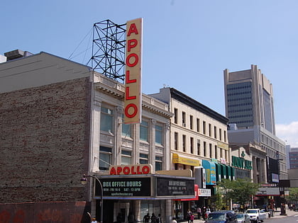
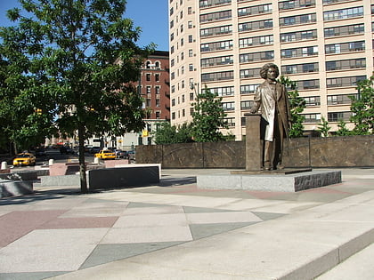
Nearby attractions include: Apollo Theater, Harlem Meer, Conservatory Garden, Frederick Douglass Memorial.
Frequently Asked Questions (FAQ)
Which popular attractions are close to 116th Street?
Nearby attractions include Masjid Malcolm Shabazz, New York City (4 min walk), Harlem Fire Watchtower, New York City (8 min walk), Upper Manhattan, New York City (8 min walk), Marcus Garvey Park, New York City (8 min walk).
How to get to 116th Street by public transport?
The nearest stations to 116th Street:
Metro
Bus
Train
Metro
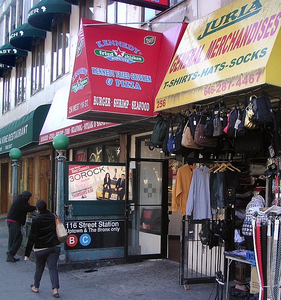
- 116th Street • Lines: <6>, 2, 3, 4, 6 (10 min walk)
- Central Park North–110th Street • Lines: 2, 3 (7 min walk)
Bus
- West 116th Street & Frederick Douglas Boulevard • Lines: M116 (11 min walk)
- West 125th Street & Malcolm X Boulevard • Lines: M60 Sbs (12 min walk)
Train
- Harlem–125th Street (14 min walk)



 Subway
 Manhattan Buses