Cockatoo Grove, Chula Vista

Map
Facts and practical information
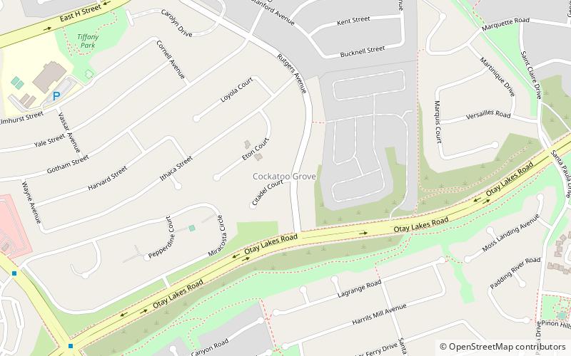
Cockatoo Grove was a populated place in San Diego County, California, United States. As of 2015, the former location of Cockatoo Grove is within the Otay Lakes neighborhood of Chula Vista, California. ()
Coordinates: 32°38'35"N, 116°59'2"W
Address
East Chula VistaChula Vista
ContactAdd
Social media
Add
Day trips
Cockatoo Grove – popular in the area (distance from the attraction)
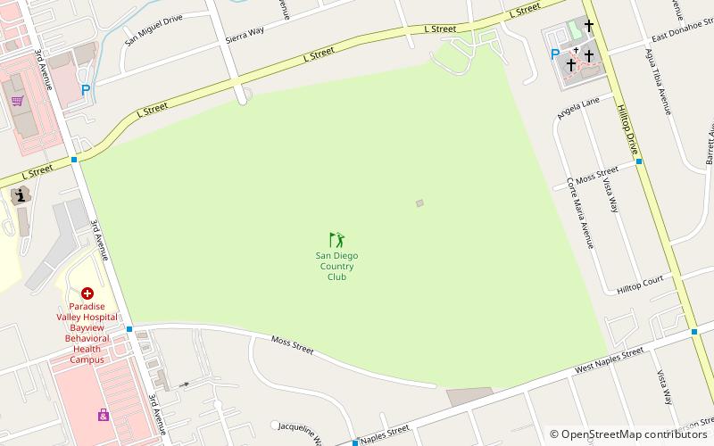
Nearby attractions include: Westfield Plaza Bonita, Otay Ranch Town Center, Aquatica, San Diego Country Club.
Frequently Asked Questions (FAQ)
How to get to Cockatoo Grove by public transport?
The nearest stations to Cockatoo Grove:
Bus
Bus
- Southwestern College • Lines: 705, 707, 709, 709L, 712, 712L (19 min walk)
- Lomas Verdes • Lines: 225 (20 min walk)


