Fruit Belt, Buffalo
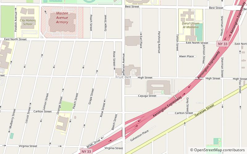
Map
Facts and practical information
The Fruit Belt is a residential neighborhood in Buffalo, New York. It is located adjacent to the Buffalo Niagara Medical Campus. ()
Coordinates: 42°54'1"N, 78°51'14"W
Address
Masten (Medical Park)Buffalo
ContactAdd
Social media
Add
Getting there by public transportation
Public transportation stops near this location
- Bus
- Light rail
 Bus
Bus
- Calculate routeSummer–Best 20 min walk
- Calculate routeAllen/Medical Campus 21 min walk
- Calculate routeUtica 26 min walk
- Calculate routeFountain Plaza 32 min walk
- Calculate routeNFTA Metro Center 38 min walk
- Calculate routeFlixBus Buffalo 38 min walk
- Calculate routeBuffalo Greyhound Station 38 min walk
Day trips


Frequently Asked Questions (FAQ)
Which popular attractions are close to Fruit Belt?
Nearby attractions include Broadway-Fillmore, Buffalo (15 min walk), King Urban Life Center, Buffalo (15 min walk), Gates Vascular Institute, Buffalo (16 min walk), Buffalo Museum of Science, Buffalo (18 min walk).
How to get to Fruit Belt by public transport?
The nearest stations to Fruit Belt:
Light rail
Bus
Light rail
- Summer–Best • Lines: Metro (20 min walk)
- Allen/Medical Campus • Lines: Metro (21 min walk)
Bus
- NFTA Metro Center (38 min walk)
- FlixBus Buffalo • Lines: 2686 (38 min walk)