Libby Hill, Richmond
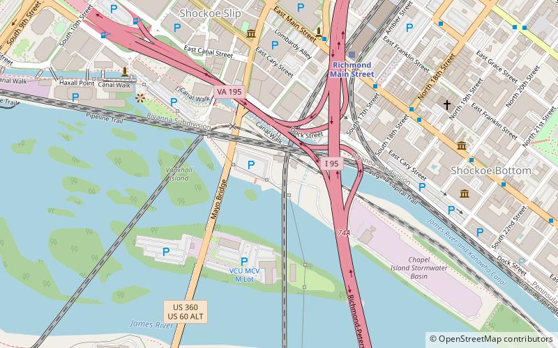
Map
Gallery
Facts and practical information
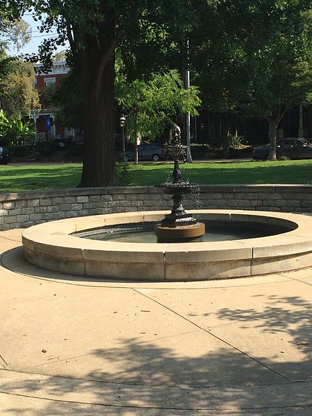
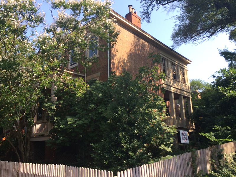
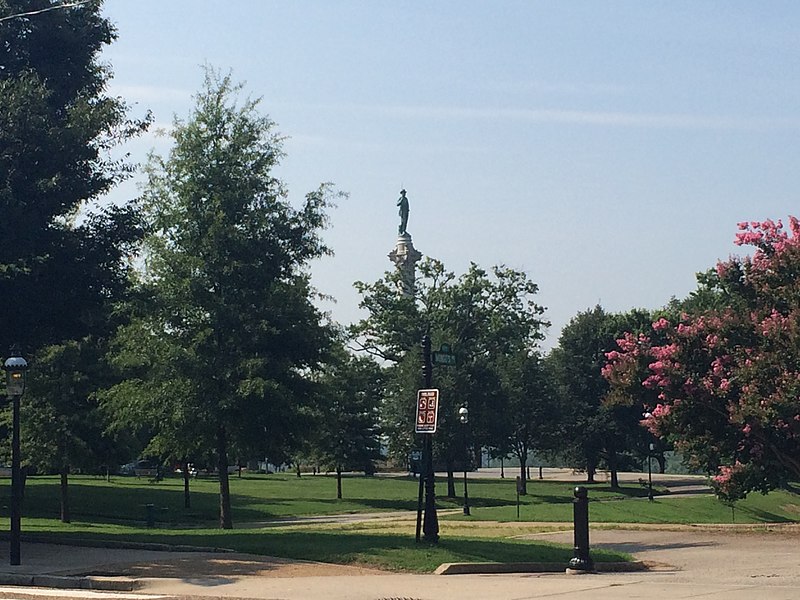
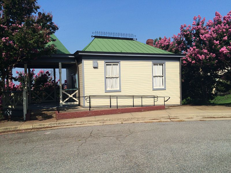
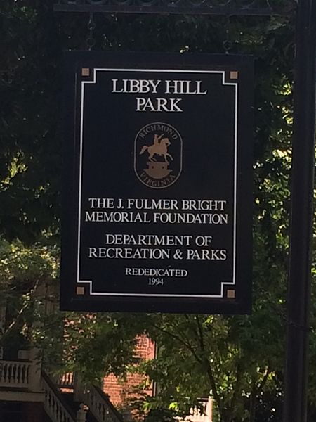
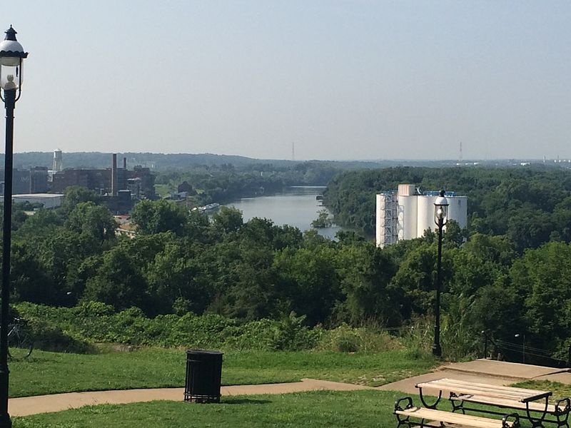
Libby Hill is a small neighborhood in Richmond, Virginia. Libby Hill is located on the southeastern spur of Church Hill, overlooking the James River and the Lucky Strike building. It is known for Libby Hill Park and "The View that Named Richmond". The Libby Hill neighborhood is entirely within the St. John's Church Historic District. ()
Coordinates: 37°31'39"N, 77°25'1"W
Address
Church HillRichmond
ContactAdd
Social media
Add
Day trips
Libby Hill – popular in the area (distance from the attraction)
Nearby attractions include: Richmond Coliseum, Virginia Holocaust Museum, Edgar Allan Poe Museum, The National.
Frequently Asked Questions (FAQ)
Which popular attractions are close to Libby Hill?
Nearby attractions include Church Hill Tunnel, Richmond (3 min walk), Chimborazo Hospital, Richmond (7 min walk), St Patrick's Catholic Church, Richmond (8 min walk), St. John's Episcopal Church, Richmond (8 min walk).
How to get to Libby Hill by public transport?
The nearest stations to Libby Hill:
Train
Bus
Train
- Richmond Main Street (22 min walk)
Bus
- A • Lines: 1A, 1C (34 min walk)
- B • Lines: 1A, 1C (34 min walk)


