St. Peter's Lick Run Historic District, Cincinnati

Gallery (1)
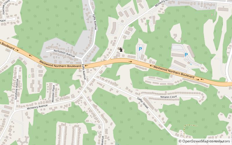
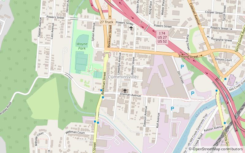
Map
Map
Facts and practical information
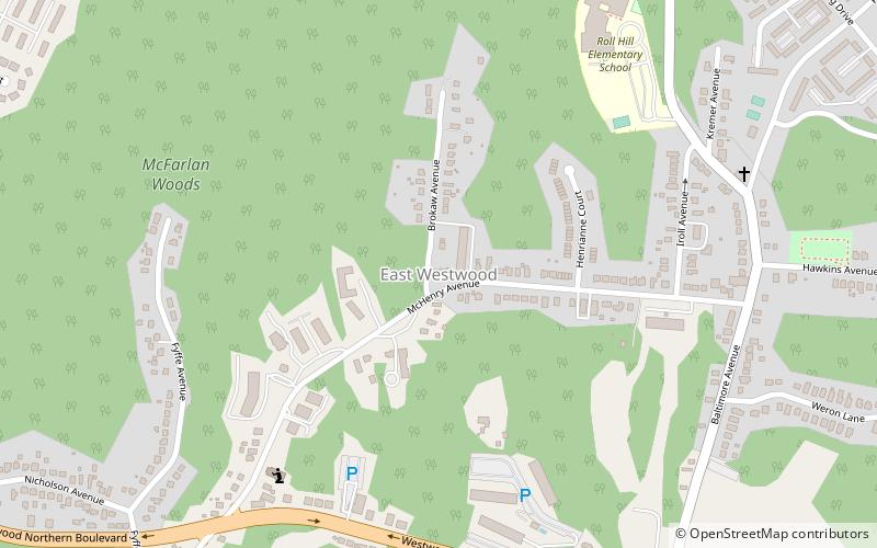
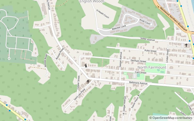
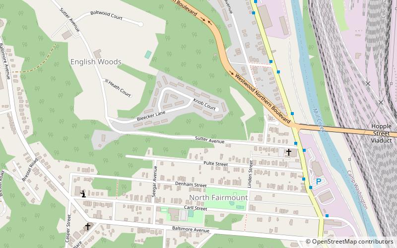
St. Peter's Lick Run Historic District is a registered historic district in Cincinnati, Ohio, listed in the National Register of Historic Places on October 4, 1989. It contains 3 contributing buildings. ()
Coordinates: 39°8'45"N, 84°34'17"W
Address
East WestwoodCincinnati
ContactAdd
Social media
Add
Getting there by public transportation
Public transportation stops near this location
- Bus
 Bus
Bus
- Calculate routeHarrison Ave & Mchenry Ave 16 min walk
Day trips
Frequently Asked Questions (FAQ)
Which popular attractions are close to St. Peter's Lick Run Historic District?
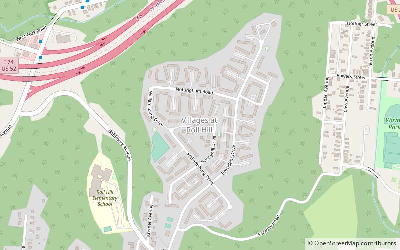
Nearby attractions include East Westwood, Cincinnati (10 min walk), Villages at Roll Hill, Cincinnati (24 min walk).
How to get to St. Peter's Lick Run Historic District by public transport?
The nearest stations to St. Peter's Lick Run Historic District:
Bus
Bus
- Harrison Ave & Mchenry Ave • Lines: 21 (16 min walk)