Villages at Roll Hill, Cincinnati

Map
Facts and practical information
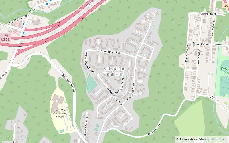
Villages at Roll Hill is a small neighborhood in Cincinnati, Ohio. A federal study showed that 88.6% of the neighborhood's housing was subsidized in 2008. The population was 1,916 at the 2010 census. ()
Coordinates: 39°9'22"N, 84°33'37"W
Address
East WestwoodCincinnati
ContactAdd
Social media
Add
Day trips
Villages at Roll Hill – popular in the area (distance from the attraction)
Nearby attractions include: Northside, American Sign Museum, Mount Airy Forest, Wesleyan Cemetery.
Frequently Asked Questions (FAQ)
Which popular attractions are close to Villages at Roll Hill?
Nearby attractions include East Westwood, Cincinnati (15 min walk), South Cumminsville, Cincinnati (16 min walk), Millvale, Cincinnati (18 min walk), Wesleyan Cemetery, Cincinnati (20 min walk).
How to get to Villages at Roll Hill by public transport?
The nearest stations to Villages at Roll Hill:
Bus
Bus
- West Fork Rd 1835 • Lines: 51 (9 min walk)


