River Road-Mead Avenue Historic District, Greenwich
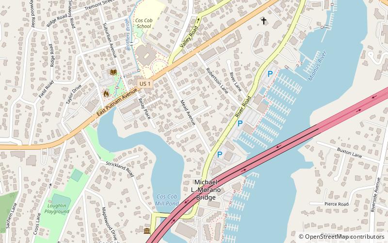
Map

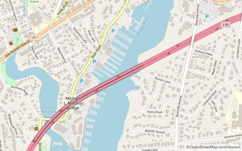
Map

Facts and practical information
The River Road-Mead Avenue Historic District encompasses a well-preserved late-19th century upper-class residential area in the Cos Cob area of Greenwich, Connecticut. Extending along River Road between Mead Avenue and Robertson Lane, and along Mead Avenue most of the way to East Putnam Avenue, the district includes fourteen fine houses, most of which were built between 1870 and 1907. The district was listed on the National Register of Historic Places in 1979. ()
Coordinates: 41°2'15"N, 73°35'45"W
Address
Cos CobGreenwich
ContactAdd
Social media
Add
Day trips
River Road-Mead Avenue Historic District – popular in the area (distance from the attraction)
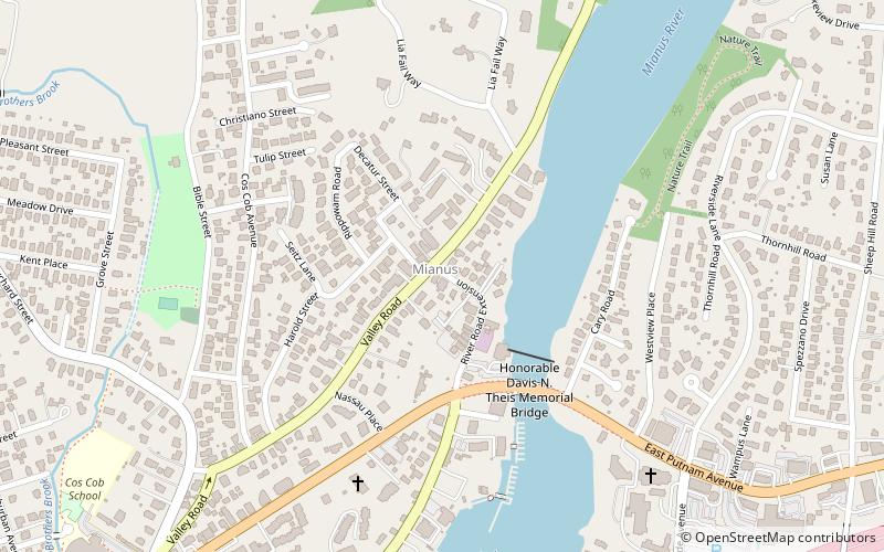
Nearby attractions include: Putnam Cottage, Bush–Holley House, St. Catherine of Sienna Church, Riverside Avenue Bridge.
Frequently Asked Questions (FAQ)
Which popular attractions are close to River Road-Mead Avenue Historic District?
Nearby attractions include Bush–Holley House, Greenwich (2 min walk), The Drawing Room Boutique, Greenwich (5 min walk), Mianus River Bridge, Greenwich (6 min walk), The Friends of the Cos Cob Library, Greenwich (6 min walk).
How to get to River Road-Mead Avenue Historic District by public transport?
The nearest stations to River Road-Mead Avenue Historic District:
Train
Train
- Cos Cob (15 min walk)
- Riverside (16 min walk)


