Marist Place, Savannah
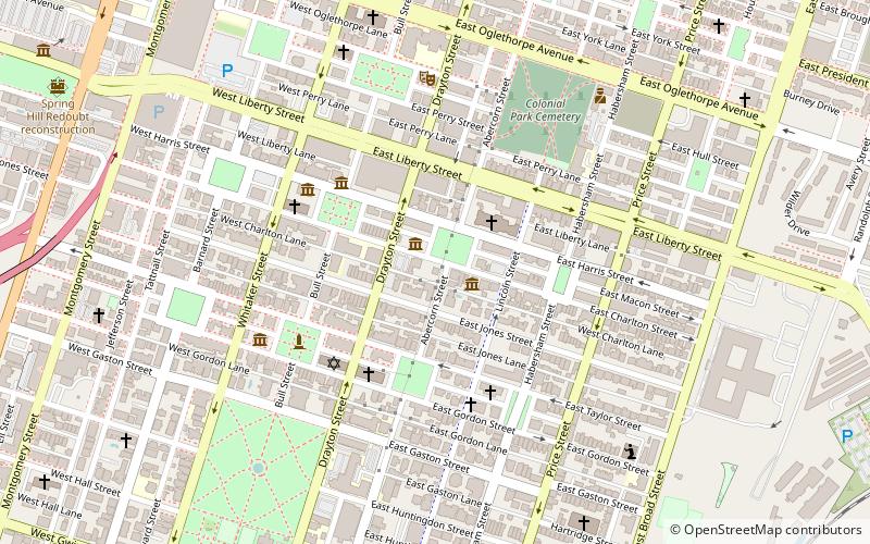
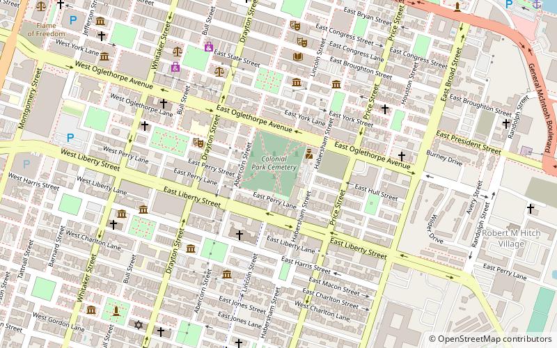
Map

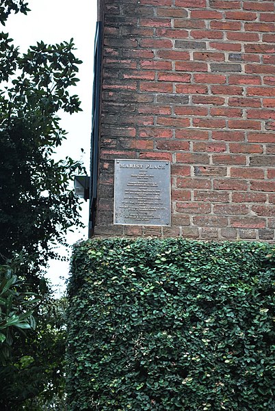
Gallery

Facts and practical information
Marist Place is the former location of a school building at today's 123 East Charlton Street in Savannah, Georgia, United States, in the southwest tything of Lafayette Square. It was located in what became Savannah's Historic District. ()
Coordinates: 32°4'21"N, 81°5'32"W
Address
Downtown Savannah (South Historic District)Savannah
ContactAdd
Social media
Add
Day trips
Marist Place – popular in the area (distance from the attraction)
Nearby attractions include: Lafayette Square, Cathedral of St. John the Baptist, Green-Meldrim House, Madison Square.
Frequently Asked Questions (FAQ)
Which popular attractions are close to Marist Place?
Nearby attractions include Andrew Low House, Savannah (2 min walk), Lafayette Square, Savannah (2 min walk), Flannery O'Connor Childhood Home, Savannah (2 min walk), Girl Scout First Headquarters, Savannah (2 min walk).
How to get to Marist Place by public transport?
The nearest stations to Marist Place:
Tram
Bus
Tram
- Stop • Lines: Rssc (18 min walk)
Bus
- G • Lines: 17 (17 min walk)
- F • Lines: 29 (17 min walk)


