Chestnut Hill–Plateau Historic District, Richmond
Map

Gallery

Facts and practical information
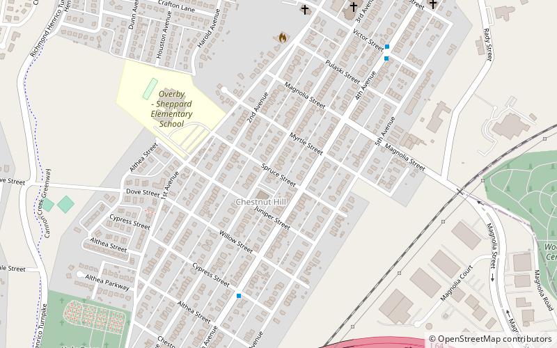
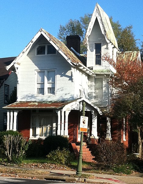
The Chestnut Hill–Plateau Historic District is a historic area in the Highland Park neighborhood of Richmond, Virginia. It is also known as 'Highland Park Southern Tip' on city neighborhood maps. ()
Coordinates: 37°33'48"N, 77°25'17"W
Address
Northside (Highland Park Southern Tip)Richmond
ContactAdd
Social media
Add
Day trips
Chestnut Hill–Plateau Historic District – popular in the area (distance from the attraction)
Nearby attractions include: Gallery5, Shockoe Hill African Burying Ground, Maggie L. Walker National Historic Site, Battery Park.
Frequently Asked Questions (FAQ)
Which popular attractions are close to Chestnut Hill–Plateau Historic District?
Nearby attractions include Barton Heights, Richmond (17 min walk), Barton Heights Cemetery, Richmond (19 min walk), Fifth Street Viaduct, Richmond (20 min walk), Highland Park Plaza Historic District, Richmond (23 min walk).
How to get to Chestnut Hill–Plateau Historic District by public transport?
The nearest stations to Chestnut Hill–Plateau Historic District:
Bus
Bus
- 4th + Victor • Lines: 3A, 3B, 3C (7 min walk)
- North + Essex • Lines: 2A, 2C (21 min walk)


