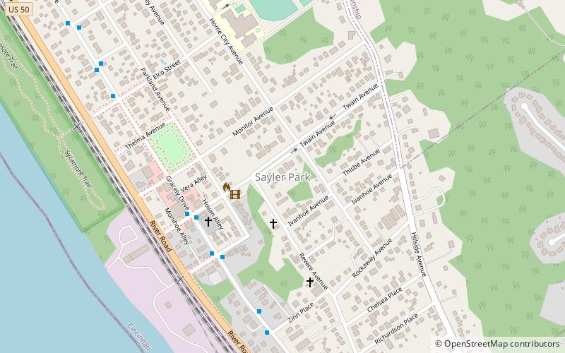
Sayler Park, Cincinnati
Map
Facts and practical information
Sayler Park is a neighborhood in Cincinnati, Ohio. The west side neighborhood on the Ohio River is approximately 1 mile and 2 miles wide. The population was 2,765 at the 2010 census. ()
Coordinates: 39°6'45"N, 84°41'21"W
Address
Sayler ParkCincinnati
ContactAdd
Social media
Add
Getting there by public transportation
Public transportation stops near this location
- Bus
 Bus
Bus
- Calculate routeGracely Dr & Twain Ave 5 min walk
Day trips
Sayler Park – popular in the area (distance from the attraction)
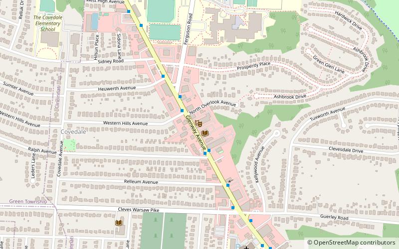
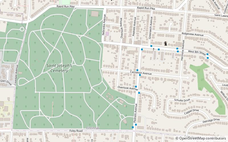
Nearby attractions include: St. Aloysius on the Ohio, Westwood United Methodist Church, Covedale Center for the Performing Arts, New St. Joseph Cemetery.


Frequently Asked Questions (FAQ)
Which popular attractions are close to Sayler Park?
Nearby attractions include Story Mound, Cincinnati (8 min walk), St. Aloysius on the Ohio, Cincinnati (15 min walk), Short Woods Park Mound, Cincinnati (18 min walk).
How to get to Sayler Park by public transport?
The nearest stations to Sayler Park:
Bus
Bus
- Gracely Dr & Twain Ave • Lines: 50 (5 min walk)