Little Italy, New York City
Map
Gallery
Facts and practical information
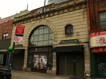
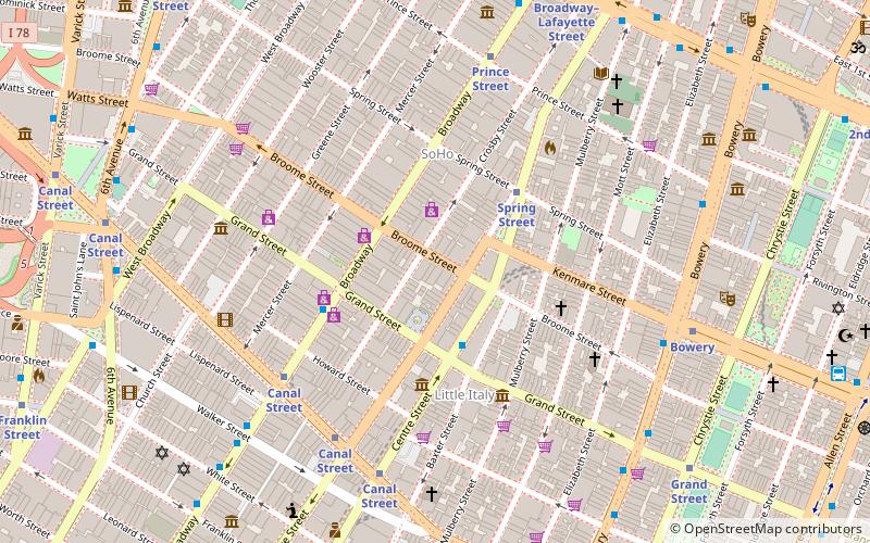
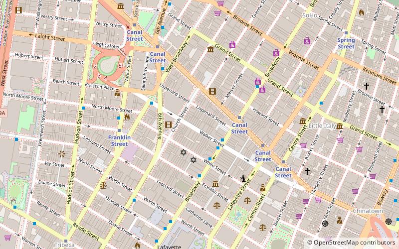
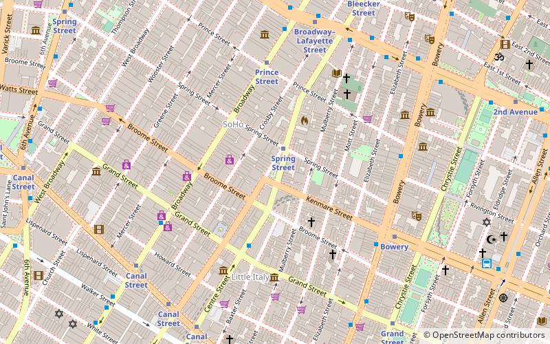
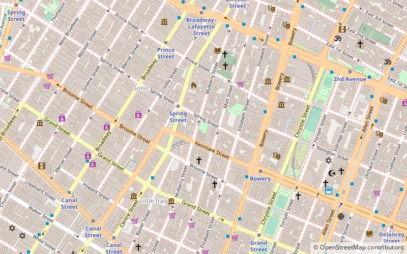
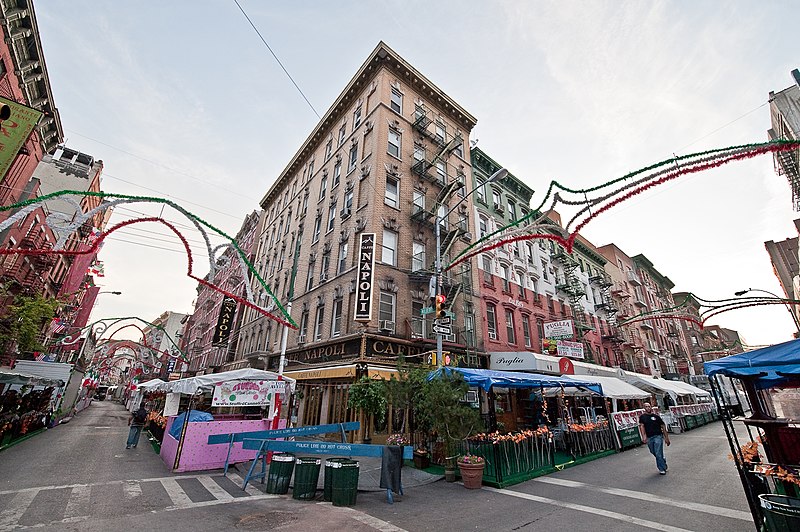
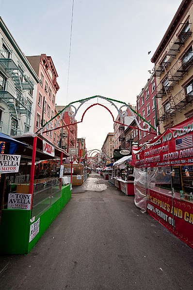
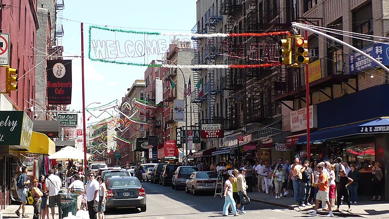
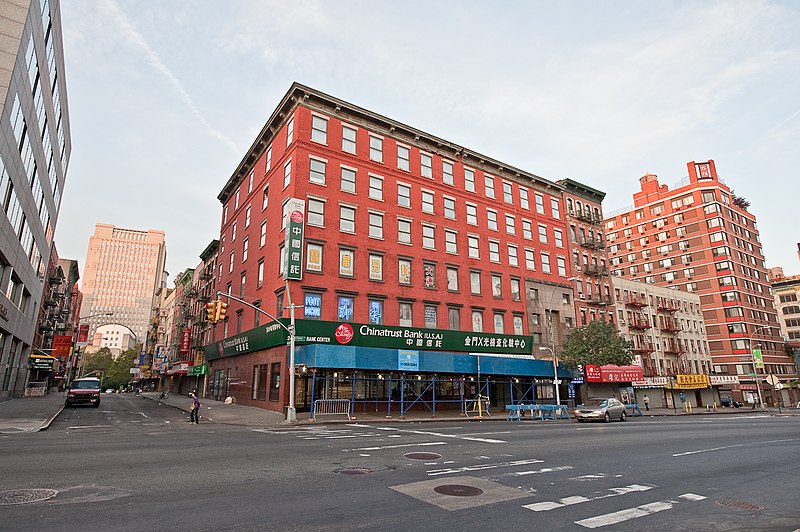
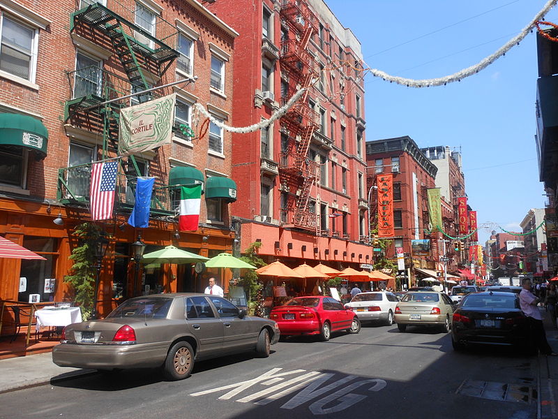
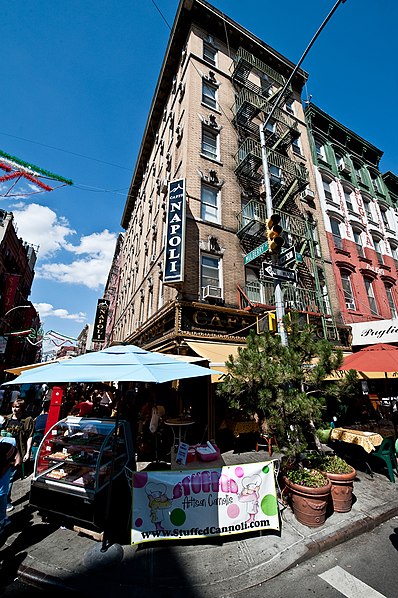
Little Italy is a neighborhood in Lower Manhattan in New York City, once known for its large Italian population. It is bounded on the west by Tribeca and Soho, on the south by Chinatown, on the east by the Bowery and Lower East Side, and on the north by Nolita. ()
Day trips
Little Italy – popular in the area (distance from the attraction)
Nearby attractions include: Bowery Ballroom, Center for Italian Modern Art, Church of the Most Precious Blood, Soho Repertory Theatre.
Frequently Asked Questions (FAQ)
Which popular attractions are close to Little Italy?
Nearby attractions include Mulberry Street, New York City (3 min walk), Mott Street, New York City (3 min walk), Church of the Most Precious Blood, New York City (3 min walk), Bronwyn Keenan Gallery, New York City (4 min walk).
How to get to Little Italy by public transport?
The nearest stations to Little Italy:
Metro
Bus
Ferry
Metro
- Canal Street • Lines: <6>, 4, 6, J, N, Q, R, W, Z (5 min walk)
- Spring Street • Lines: <6>, 4, 6 (4 min walk)
Bus
- Broadway & Grand Street • Lines: M55 (5 min walk)
- Lucky Star (7 min walk)
Ferry
- Brookfield Place / Battery Park City Ferry Terminal (28 min walk)
- Pier 11/Wall Street Terminal (32 min walk)



 Subway
 Manhattan Buses