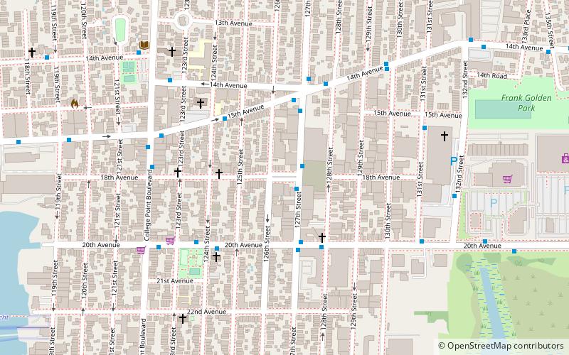
Mall Eighteen, New York City

Map
Facts and practical information
Mall Eighteen is a traffic mall acquired by New York City for park purposes in 1913 and completed as a park in 1918. At the time, the eastern end of this park served as a plaza for the College Point Long Island Rail Road station. It is named after 18th Avenue on which it is located. ()
Elevation: 46 ft a.s.l.Coordinates: 40°46'60"N, 73°50'30"W
Address
Northeastern Queens (College Point)New York City
ContactAdd
Social media
Add
Day trips
Mall Eighteen – popular in the area (distance from the attraction)
Nearby attractions include: College Point Fields, Lewis H. Latimer House, Hazrati Abu Bakr Siddique, Williamsburgh Yacht Club.
Frequently Asked Questions (FAQ)
Which popular attractions are close to Mall Eighteen?
Nearby attractions include College Point Fields, New York City (13 min walk), Williamsburgh Yacht Club, New York City (24 min walk).
How to get to Mall Eighteen by public transport?
The nearest stations to Mall Eighteen:
Bus
Bus
- 20th Avenue & 127th Street • Lines: Q20A (3 min walk)
- 15th Avenue & 124th Street • Lines: Q20B (4 min walk)
 Subway
 Manhattan Buses


