College Point Fields, New York City
Map
Gallery
Facts and practical information
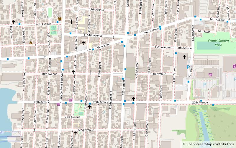
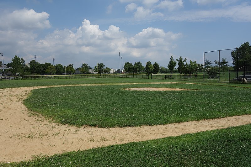
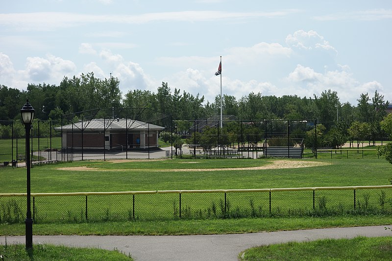
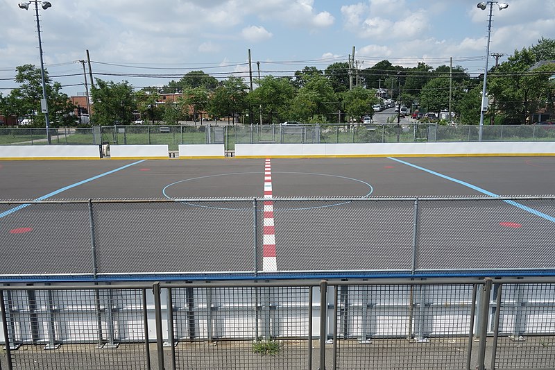
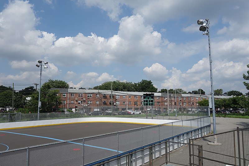
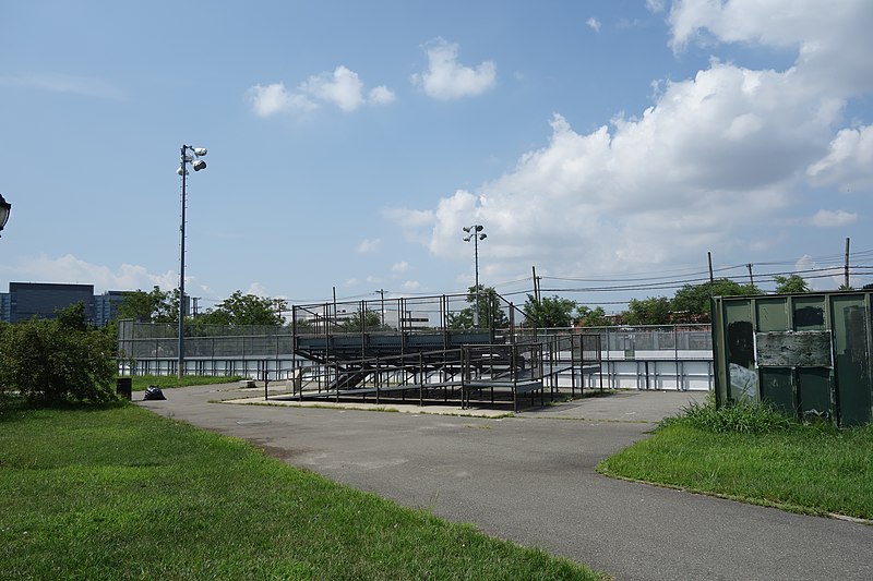
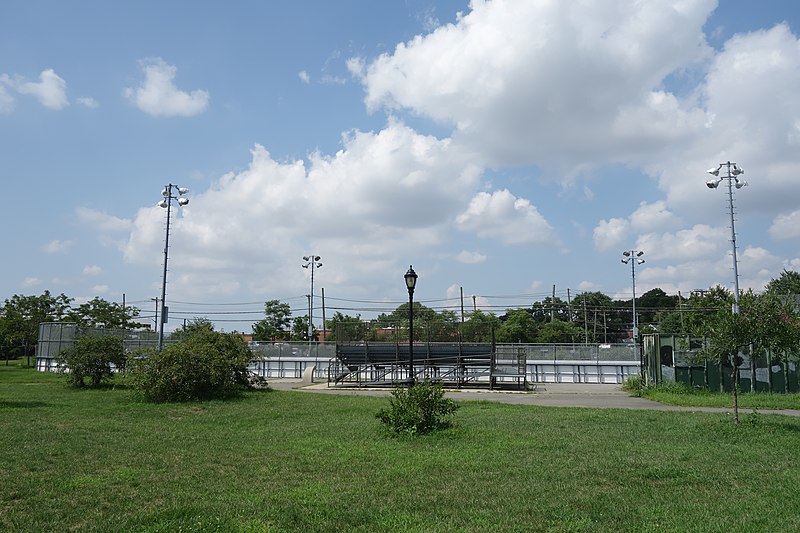
College Point Fields is a public park in College Point, Queens, New York City. It is bounded by Ulmer and 130th Streets to the west, 23rd Avenue to the north, Linden Place to the east, and 26th Avenue and the remains of Mill Creek to the south. The park contains two fields each for Little League Baseball and regular baseball; a soccer field; a roller hockey rink; and bleachers. ()
Elevation: 10 ft a.s.l.Coordinates: 40°46'36"N, 73°50'15"W
Address
Northeastern Queens (College Point)New York City
ContactAdd
Social media
Add
Day trips
College Point Fields – popular in the area (distance from the attraction)
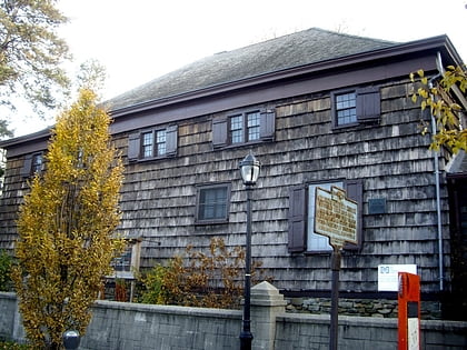
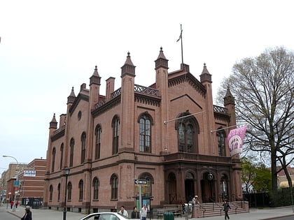
Nearby attractions include: Old Quaker Meeting House, Flushing Town Hall, Voelker Orth Museum, Kingsland Homestead.
Frequently Asked Questions (FAQ)
Which popular attractions are close to College Point Fields?
Nearby attractions include Mall Eighteen, New York City (13 min walk), Williamsburgh Yacht Club, New York City (20 min walk), Lewis H. Latimer House, New York City (22 min walk), Hazrati Abu Bakr Siddique, New York City (23 min walk).
How to get to College Point Fields by public transport?
The nearest stations to College Point Fields:
Bus
Metro
Bus
- Ulmer Street & 25th Avenue • Lines: Q25 (3 min walk)
- 20th Avenue & 127th Street • Lines: Q20A (11 min walk)
Metro
- Flushing–Main Street • Lines: <7>, 7 (32 min walk)



 Subway
 Manhattan Buses