Springwells Park Historic District, Dearborn
Map

Gallery

Facts and practical information
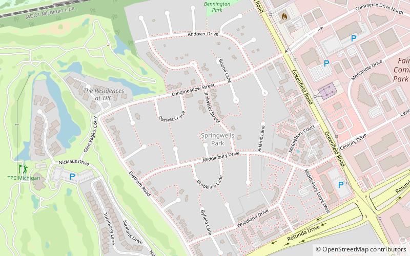
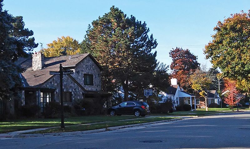
The Springwells Park Historic District is a historic residential neighborhood located in Dearborn, Michigan and bounded by Rotunda Drive, the Michigan Central Railroad line, and Greenfield and Eastham Roads. The district was listed on the National Register of Historic Places in 2015. ()
Coordinates: 42°18'29"N, 83°11'38"W
Address
Dearborn (Springwells)Dearborn
ContactAdd
Social media
Add
Day trips
Springwells Park Historic District – popular in the area (distance from the attraction)
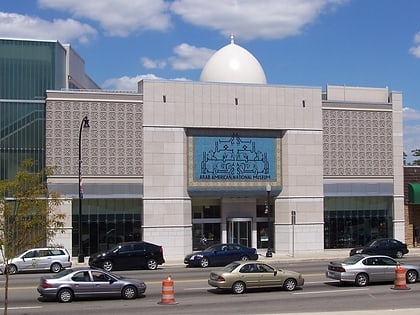
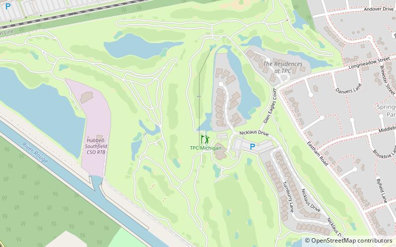
Nearby attractions include: Arab American National Museum, TPC Michigan, Parklane Towers, Henry Ford Centennial Library.
Frequently Asked Questions (FAQ)
How to get to Springwells Park Historic District by public transport?
The nearest stations to Springwells Park Historic District:
Bus
Bus
- Michigan / Greenfield NS • Lines: 02, 10, 210 (14 min walk)
- Michigan / Greenfield • Lines: 02, 10, 210, 261 (15 min walk)


