Dearborn City Hall Complex, Dearborn
Map

Map

Facts and practical information
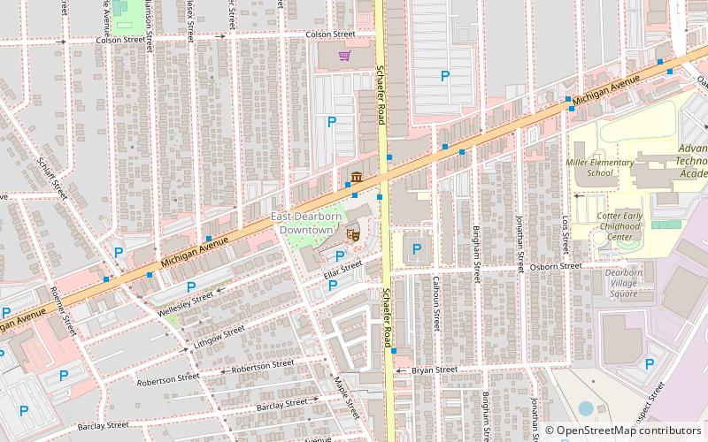
The Dearborn City Hall Complex is a complex of three government buildings located at 13615 Michigan Avenue in Dearborn, Michigan. The complex includes the 1921 Dearborn City Hall, the 1929 Police and Municipal Courts Building, and an office/auditorium concourse addition constructed in 1981. The complex was listed on the National Register of Historic Places in 2014. ()
Coordinates: 42°19'17"N, 83°10'36"W
Address
Dearborn (Shaefer - Greenfield)Dearborn
ContactAdd
Social media
Add
Day trips
Dearborn City Hall Complex – popular in the area (distance from the attraction)
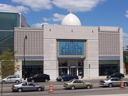
Nearby attractions include: Arab American National Museum, US 12 Bridges, Dearborn Ice Skating Center, Springwells Park Historic District.
Frequently Asked Questions (FAQ)
Which popular attractions are close to Dearborn City Hall Complex?
Nearby attractions include Arab American National Museum, Dearborn (2 min walk), US 12 Bridges, Dearborn (23 min walk).
How to get to Dearborn City Hall Complex by public transport?
The nearest stations to Dearborn City Hall Complex:
Bus
Bus
- Michigan / Schaefer NS • Lines: 01, 02, 210, 261 (1 min walk)
- Schaefer / Michigan • Lines: 01, 41 (2 min walk)


