West Roxbury, Boston
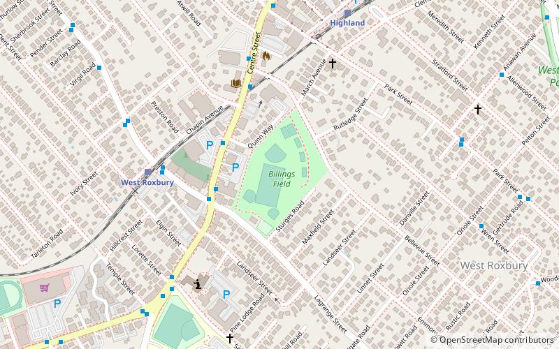
Map
Gallery
Facts and practical information
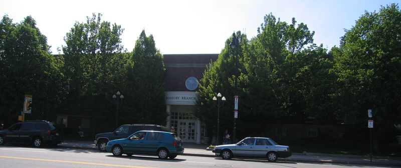
West Roxbury is a neighborhood in Boston, Massachusetts bordered by Roslindale to the northeast, the town of Brookline to the north, the city of Newton to the northwest and the town of Dedham to the southwest. West Roxbury is often mistakenly confused with Roxbury, but, by around 6 miles, the two are not connected. West Roxbury is separated from Roxbury by Jamaica Plain and Roslindale. ()
Address
West Roxbury (Bellevue Hill)Boston
ContactAdd
Social media
Add
Day trips
West Roxbury – popular in the area (distance from the attraction)
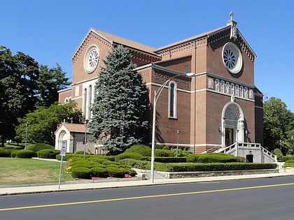
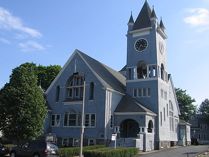
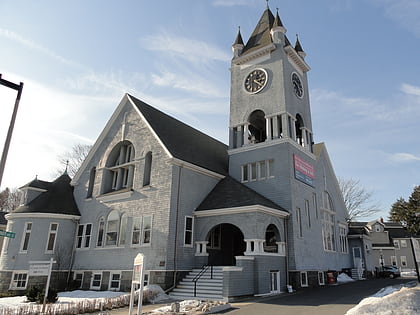
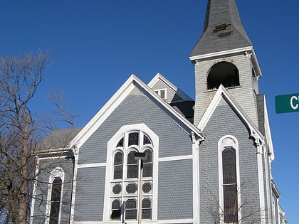
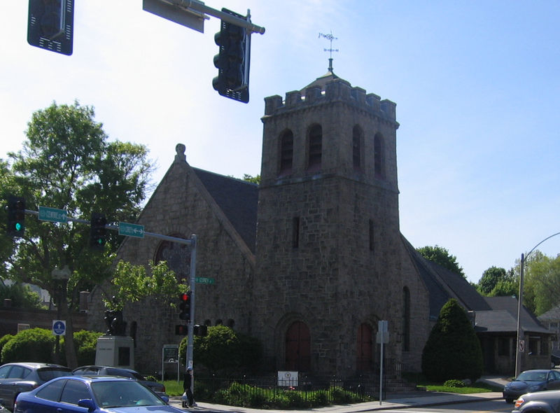
Nearby attractions include: George Wright Golf Course, Theodore Parker Unitarian Universalist Church, Holy Name Church, Roslindale.
Frequently Asked Questions (FAQ)
Which popular attractions are close to West Roxbury?
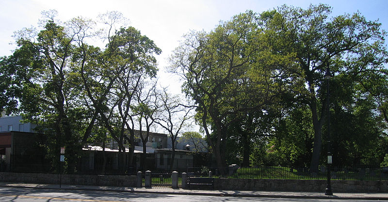
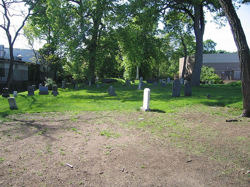
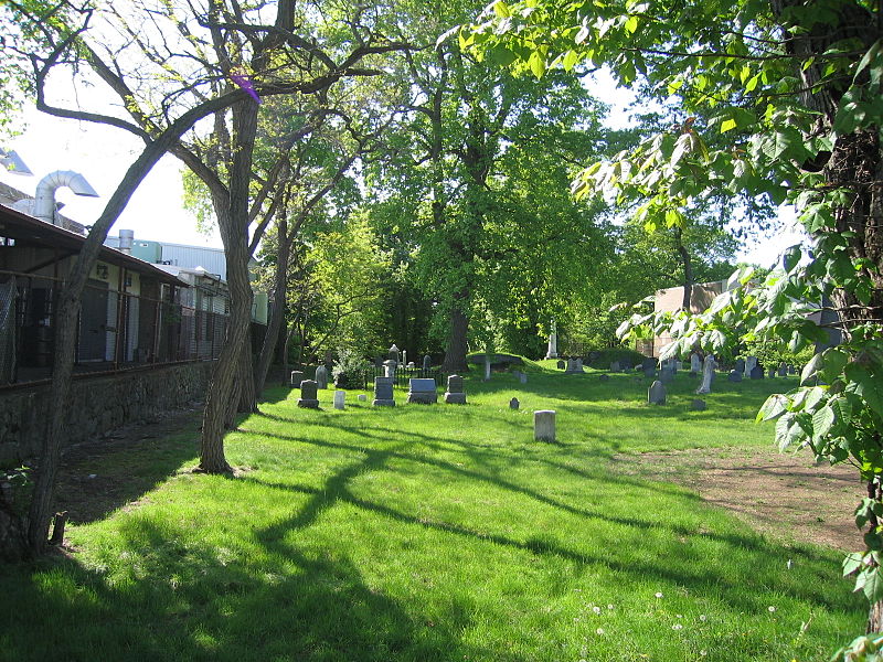
Nearby attractions include Billings Field, Boston (10 min walk), Westerly Burial Ground, Boston (13 min walk), Theodore Parker Unitarian Universalist Church, Boston (15 min walk), Holy Name Church, Boston (16 min walk).
How to get to West Roxbury by public transport?
The nearest stations to West Roxbury:
Train
Train
- Highland (12 min walk)
- Bellevue (14 min walk)



 MBTA Subway

