Downtown Thermopolis Historic District, Thermopolis
Map

Map

Facts and practical information
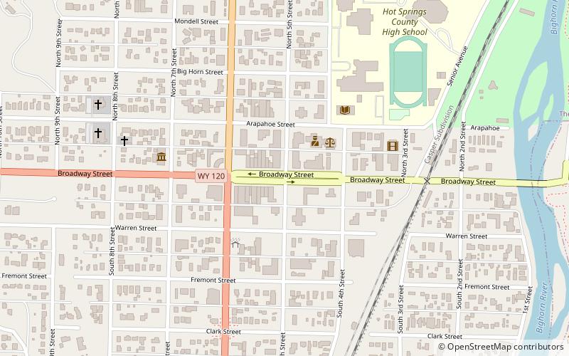
The Downtown Thermopolis Historic District comprises the central business district of Thermopolis, Wyoming. The district comprises the main street, Broadway, and Fifth Street. The buildings lining the street were built between 1898 and 1923 in styles ranging from adaptations of commercial style to Victorian. The town was planned as a unit in 1896 after the land was acquired from the Shoshone and Arapaho. Broadway, as implied by its name, was built wide enough to accommodate teams of 16 mules or horses. ()
Coordinates: 43°38'46"N, 108°12'37"W
Address
Thermopolis
ContactAdd
Social media
Add
Day trips
Downtown Thermopolis Historic District – popular in the area (distance from the attraction)
Nearby attractions include: Star Plunge, Wyoming Dinosaur Center.
Frequently Asked Questions (FAQ)
Which popular attractions are close to Downtown Thermopolis Historic District?
Nearby attractions include Wyoming Dinosaur Center, Thermopolis (13 min walk), Star Plunge, Hot Springs State Park (23 min walk).


