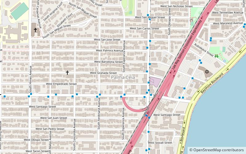
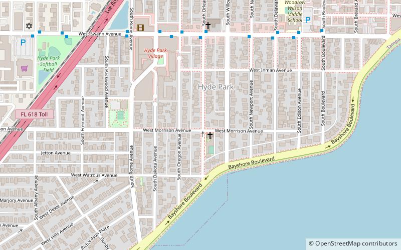
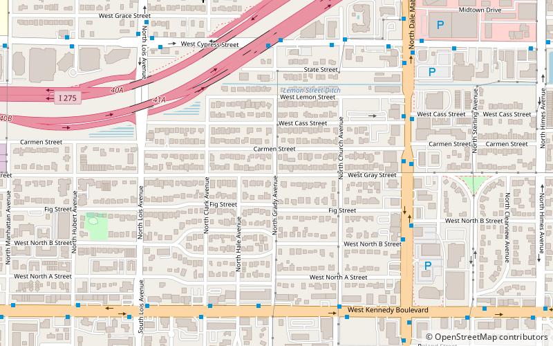
Parkland Estates, Tampa
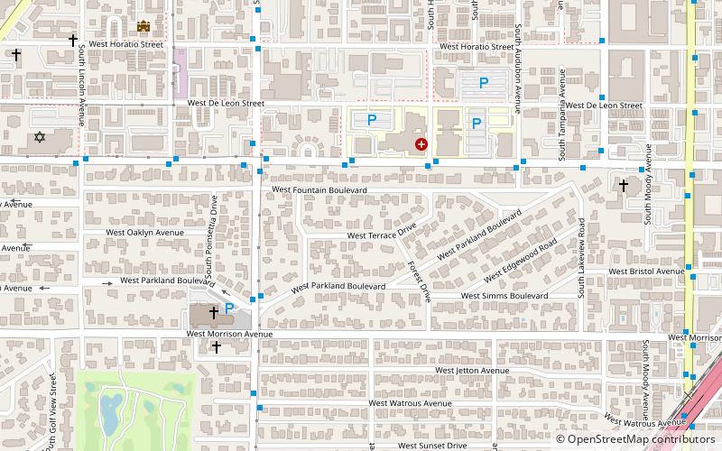
Map
Facts and practical information
Parkland Estates is a neighborhood within the city limits of Tampa, Florida. As of the 2000 census, the neighborhood had a population of 1,040. The ZIP Code serving the neighborhood is 33609. ()
Coordinates: 27°56'10"N, 82°29'27"W
Address
Southwest Tampa (Parkland Estates)Tampa
ContactAdd
Social media
Add
Getting there by public transportation
Public transportation stops near this location
- Bus
 Bus
Bus
- Calculate routeSwann Av @ Gomez Av 3 min walk
Day trips


Frequently Asked Questions (FAQ)
Which popular attractions are close to Parkland Estates?
Nearby attractions include New Suburb Beautiful, Tampa (10 min walk), Soho, Tampa (13 min walk), Gray Gables, Tampa (19 min walk), Bayshore Gardens, Tampa (20 min walk).
How to get to Parkland Estates by public transport?
The nearest stations to Parkland Estates:
Bus
Bus
- Swann Av @ Gomez Av • Lines: 19 (3 min walk)