Rolando, San Diego

Map
Facts and practical information
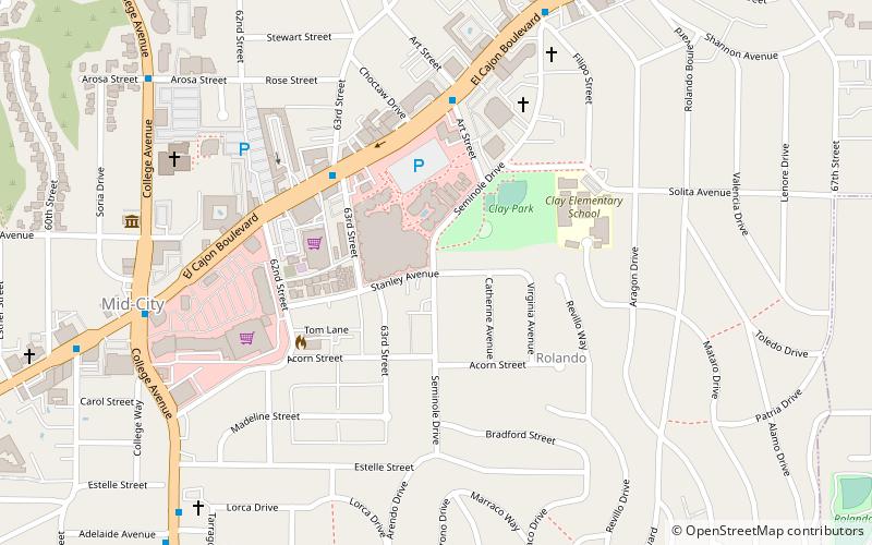
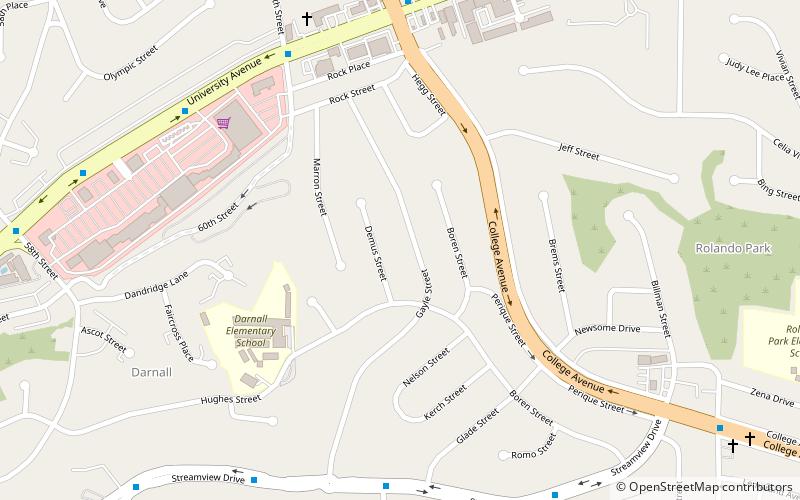
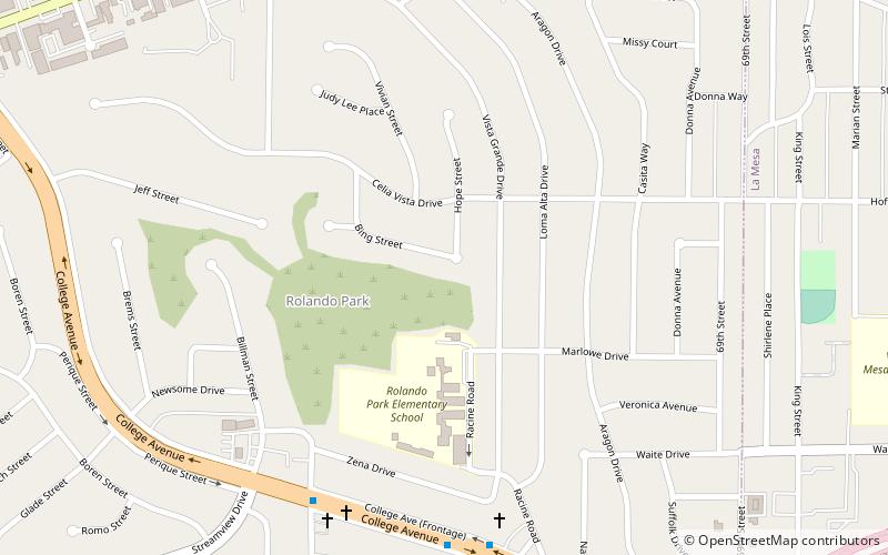
Rolando is a neighborhood of the Mid-City region of San Diego, California. Rolando is mostly residential with the exception of El Cajon Boulevard, which features the Campus Plaza shopping center. Rolando is divided by University Avenue into two sections: Rolando Village to the north, and Rolando Park to the south. ()
Coordinates: 32°45'43"N, 117°3'40"W
Address
Mid-City (Rolando)San Diego
ContactAdd
Social media
Add
Day trips
Rolando – popular in the area (distance from the attraction)
Nearby attractions include: Viejas Arena, Aztec Student Union, San Diego State Aztecs, Masjid Ar-Ribat al-Islami.
Frequently Asked Questions (FAQ)
How to get to Rolando by public transport?
The nearest stations to Rolando:
Light rail
Bus
Light rail
- Sdsu • Lines: 530 (24 min walk)
- Alvarado Medical Center • Lines: 530 (28 min walk)
Bus
- 70th Street (34 min walk)


