Rolando Park, San Diego
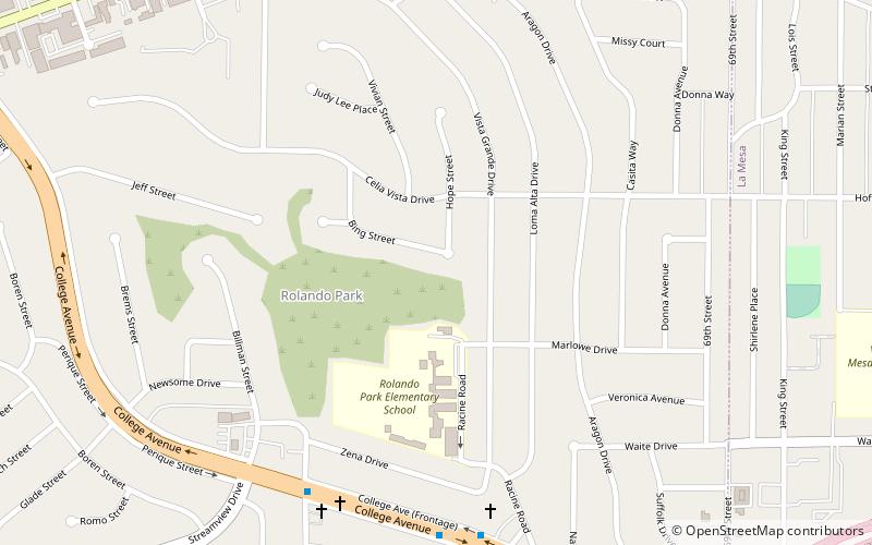
Map
Facts and practical information
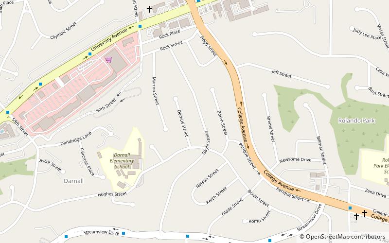
Rolando Park is a neighborhood on the eastern edge of San Diego, California. It is bordered by College Avenue to the west, California State Route 94 to the south, the city of La Mesa to the east and University Avenue to the north. Rolando Park borders the San Diego neighborhoods of Rolando, Redwood Village, and Oak Park. ()
Coordinates: 32°44'56"N, 117°3'18"W
Address
Mid-City (Redwood Village - Rolando Park)San Diego
ContactAdd
Social media
Add
Day trips
Rolando Park – popular in the area (distance from the attraction)
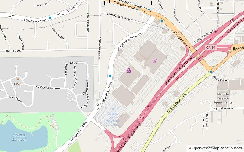
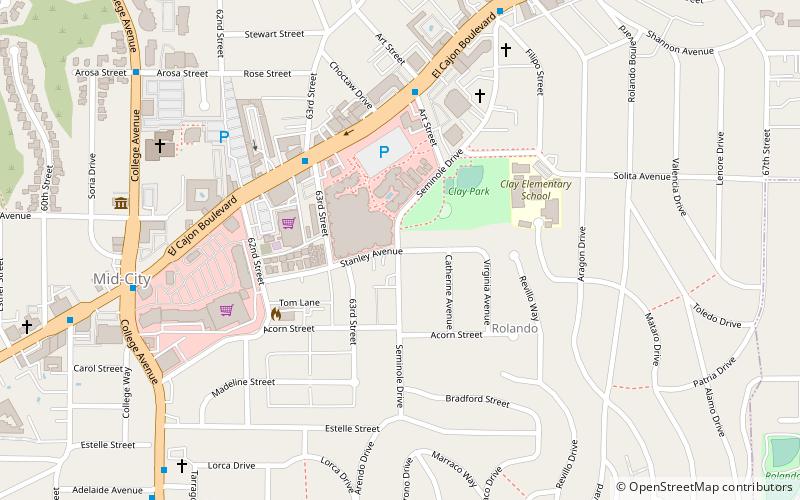
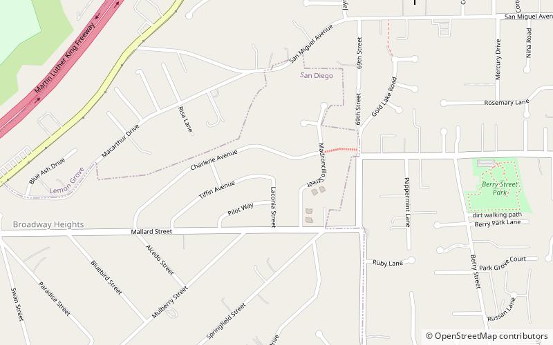
Nearby attractions include: College Grove Shopping Center, Rolando, Redwood Village, Broadway Heights.
