Bryan Place, Dallas
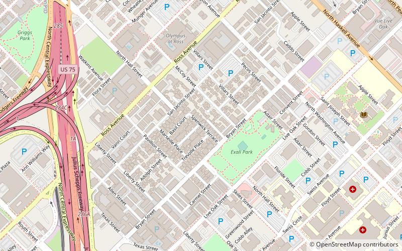
Map
Facts and practical information
Bryan Place is a neighborhood in Old East Dallas, Texas. It is east of the Arts District of downtown and the State Thomas neighborhood, north of Deep Ellum, south of Cityplace and west of Munger Place. Its boundaries are generally considered to be US-75 North Central Expressway on the west, Ross Avenue on the west, N. Washington Street on the east, and Live Oak Avenue on the east. ()
Coordinates: 32°47'38"N, 96°47'13"W
Address
East Dallas (Old East Dallas)Dallas
ContactAdd
Social media
Add
Day trips
Bryan Place – popular in the area (distance from the attraction)
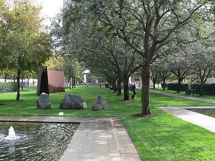
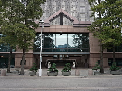
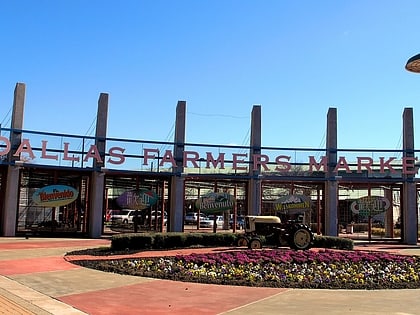
Nearby attractions include: The Bomb Factory, Nasher Sculpture Center, Crow Collection of Asian Art, Dallas Farmers Market.
Frequently Asked Questions (FAQ)
Which popular attractions are close to Bryan Place?
Nearby attractions include Latino Cultural Center, Dallas (12 min walk), Moody Performance Hall, Dallas (15 min walk), Emmanuel Lutheran Church, Dallas (15 min walk), Dee and Charles Wyly Theatre, Dallas (16 min walk).
How to get to Bryan Place by public transport?
The nearest stations to Bryan Place:
Light rail
Bus
Tram
Light rail
- Deep Ellum • Lines: Blue, Green, Orange, Red (15 min walk)
- Baylor University Medical Center • Lines: Blue, Green, Orange, Red (16 min walk)
Bus
- A • Lines: 21 (19 min walk)
- F • Lines: 24, 36, 81, 82, d-link (20 min walk)
Tram
- Olive & San Jacinto • Lines: 825 (20 min walk)
- Federal & Olive • Lines: 825 (21 min walk)

