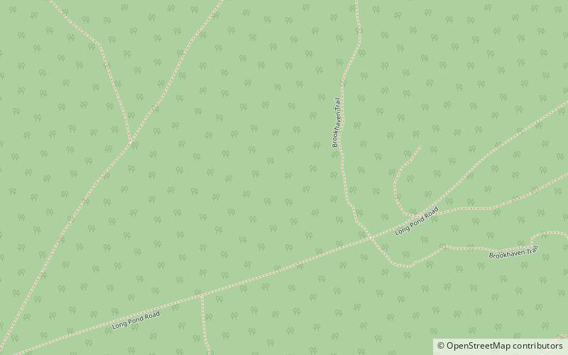
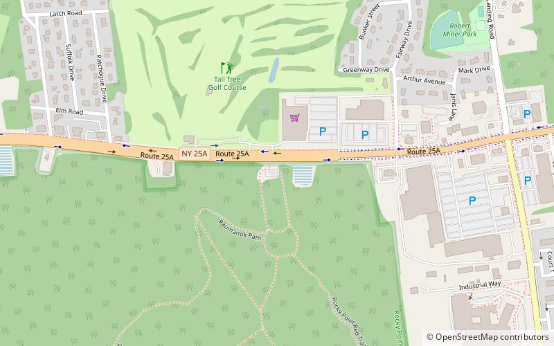
Paumanok Path, Mount Sinai

Gallery (2)
Map
Map
Gallery
Facts and practical information
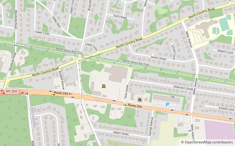
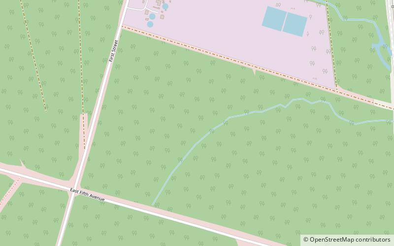
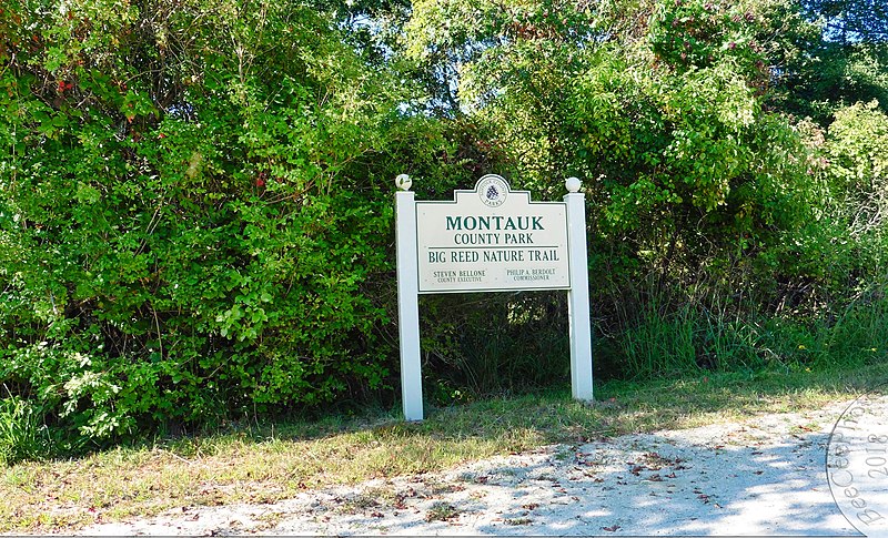
The Paumanok Path is a 125-mile hiking trail in New York on Long Island that goes from Rocky Point to Montauk Point State Park. It travels through four towns in Suffolk County: Brookhaven, Riverhead, Southampton and East Hampton. ()
Coordinates: 40°56'40"N, 72°56'55"W
Day trips