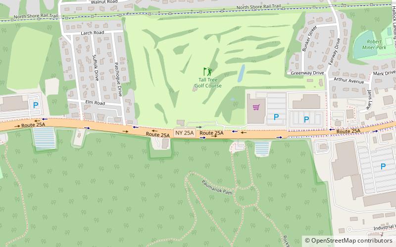
Rolling Oaks Golf Course, Long Island

Gallery (1)
Map
Map
Facts and practical information
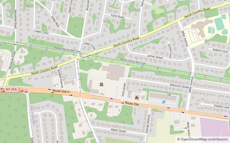
Rolling Oaks Golf Course (address: Rt 25A) is a place located in Long Island (New York state) and belongs to the category of golf.
It is situated at an altitude of 125 feet, and its geographical coordinates are 40°56'43"N latitude and 72°57'2"W longitude.
Among other places and attractions worth visiting in the area are: Paumanok Path, Mount Sinai (hiking, 3 min walk), Wardenclyffe Tower (science museum, 70 min walk), Tesla Science Center at Wardenclyffe (museum, 70 min walk).
Coordinates: 40°56'43"N, 72°57'2"W
Day trips