Andrew P. McArdle Memorial Bridge, Boston
Map
Map

Facts and practical information
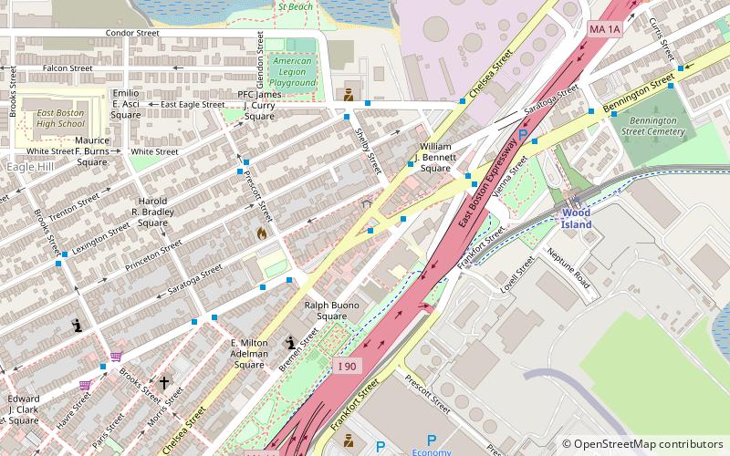
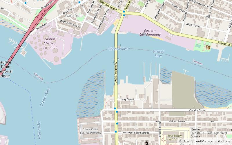
The Andrew P. McArdle Memorial Bridge is a steel truss bascule bridge over the Chelsea Creek, just upstream of its confluence with the Mystic River and the Tobin Bridge. Also known as the Meridian Street Bridge, it connects Meridian Street in East Boston with Pearl Street in Chelsea, Massachusetts. The bridge is a split rolling bascule, meaning that instead of pivoting on axles, the two counterweighted spans are raised by rolling on large semi-circular gears. ()
Coordinates: 42°23'5"N, 71°2'22"W
Address
Boston
ContactAdd
Social media
Add
Day trips
Andrew P. McArdle Memorial Bridge – popular in the area (distance from the attraction)
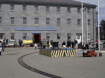
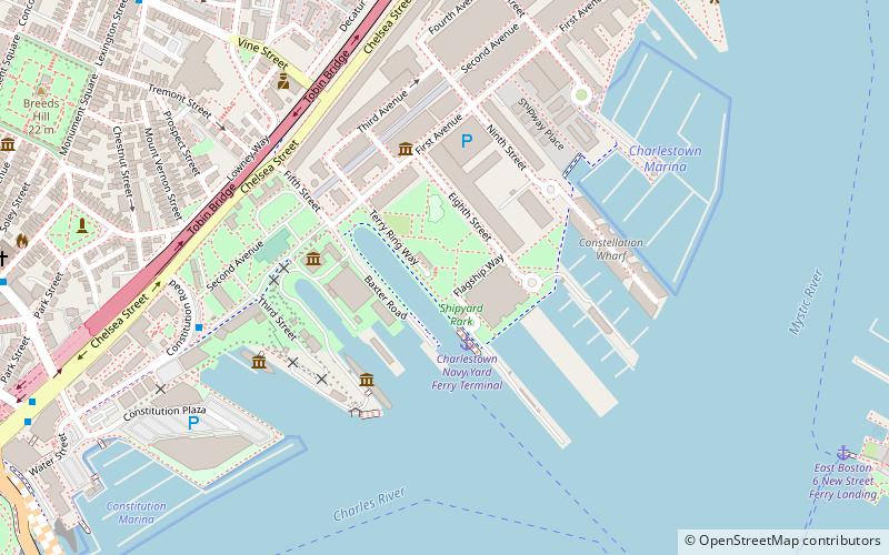
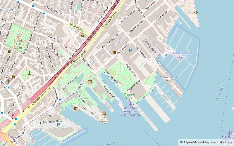
Nearby attractions include: Boston Navy Yard, USS Constitution Museum, Charlestown Naval Shipyard Park, Massachusetts Korean War Memorial.
Frequently Asked Questions (FAQ)
Which popular attractions are close to Andrew P. McArdle Memorial Bridge?
Nearby attractions include Donald McKay House, Boston (8 min walk), Downtown Chelsea Residential Historic District, Boston (9 min walk), Naval Hospital Boston Historic District, Boston (11 min walk), Tobin Bridge, Boston (12 min walk).
How to get to Andrew P. McArdle Memorial Bridge by public transport?
The nearest stations to Andrew P. McArdle Memorial Bridge:
Metro
Train
Metro
- Airport • Lines: Blue (22 min walk)
- Wood Island • Lines: Blue (24 min walk)
Train
- Chelsea station (23 min walk)

 MBTA Subway
