Day Square, Boston
Map
Facts and practical information
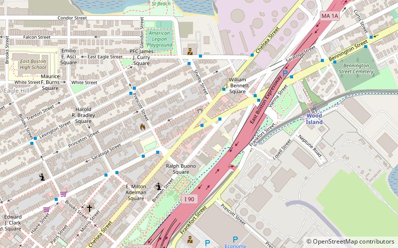
Day Square is a section of the neighborhood of East Boston in Boston, Massachusetts, United States. The square consists of the area surrounding the intersection of Bennington Street and Chelsea Street. It is one of the neighborhood's larger and more active business districts with a number of stores, services, and restaurants. ()
Coordinates: 42°22'45"N, 71°1'40"W
Address
East Boston (Harbor View - Orient Heights)Boston
ContactAdd
Social media
Add
Getting there by public transportation
Public transportation stops near this location
- Metro
 Metro
Metro
- Calculate routeWood Island 7 min walk
- Calculate routeAirport 10 min walk
- Calculate routeMaverick 25 min walk
- Calculate routeOrient Heights 33 min walk
Maps MBTA Subway
MBTA SubwayDay trips


Frequently Asked Questions (FAQ)
Which popular attractions are close to Day Square?
Nearby attractions include Mary Ellen Welch Greenway, Boston (7 min walk), Bremen Street Park, Boston (9 min walk), Bennington Street Burying Ground, Boston (10 min walk), Donald McKay House, Boston (12 min walk).
How to get to Day Square by public transport?
The nearest stations to Day Square:
Metro
Metro
- Wood Island • Lines: Blue (7 min walk)
- Airport • Lines: Blue (10 min walk)