Railroad Square District, Santa Rosa
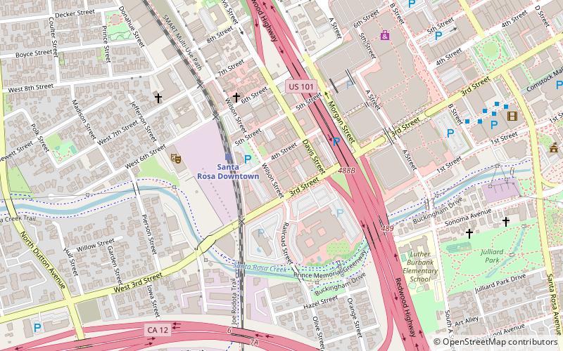
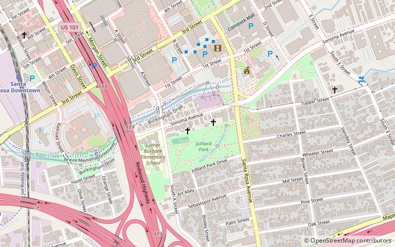
Map

Map

Facts and practical information
Railroad Square in downtown Santa Rosa, California is a historic district added to the National Register of Historic Places in 1979. The area is bounded by Third, Davis, Wilson, Sixth Streets, and Santa Rosa Creek. ()
Coordinates: 38°26'14"N, 122°43'13"W
Address
Downtown Santa RosaSanta Rosa
ContactAdd
Social media
Add
Day trips
Railroad Square District – popular in the area (distance from the attraction)
Nearby attractions include: Santa Rosa Plaza, Luther Burbank Home & Gardens, Sonoma County Museum, Rosenberg's Department Store.
Frequently Asked Questions (FAQ)
Which popular attractions are close to Railroad Square District?
Nearby attractions include Railroad Square Music Festival, Santa Rosa (2 min walk), Church of One Tree, Santa Rosa (9 min walk), Sonoma County Museum, Santa Rosa (9 min walk), De Turk Round Barn, Santa Rosa (10 min walk).
How to get to Railroad Square District by public transport?
The nearest stations to Railroad Square District:
Train
Bus
Train
- Santa Rosa Downtown (3 min walk)
Bus
- Santa Rosa Transit Mall (10 min walk)
- Santa Rosa Transit Mall Platform N1 • Lines: 101, 101X, 72, 74 (10 min walk)


