Sonoma County Fairgrounds, Santa Rosa
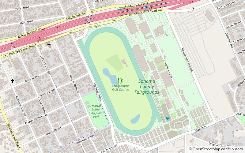
Map

Map

Facts and practical information
The Sonoma County Fairgrounds is a fairground and exhibition center located in Santa Rosa, California. It is where the annual Sonoma County fair takes place and other events throughout the year. ()
Elevation: 167 ft a.s.l.Coordinates: 38°25'47"N, 122°42'7"W
Day trips
Sonoma County Fairgrounds – popular in the area (distance from the attraction)
Nearby attractions include: Santa Rosa Plaza, Montgomery Village, Luther Burbank Home & Gardens, Sonoma County Museum.
Frequently Asked Questions (FAQ)
Which popular attractions are close to Sonoma County Fairgrounds?
Nearby attractions include Luther Burbank Home & Gardens, Santa Rosa (18 min walk), Doyle Community Park, Santa Rosa (20 min walk), Church of One Tree, Santa Rosa (20 min walk).
How to get to Sonoma County Fairgrounds by public transport?
The nearest stations to Sonoma County Fairgrounds:
Bus
Train
Bus
- Maple Avenue & Brookwood Avenue • Lines: 72, 72X (7 min walk)
- Santa Rosa Transit Mall (23 min walk)
Train
- Santa Rosa Downtown (31 min walk)


