Endee Manor Historic District, Bristol
Map

Map

Facts and practical information
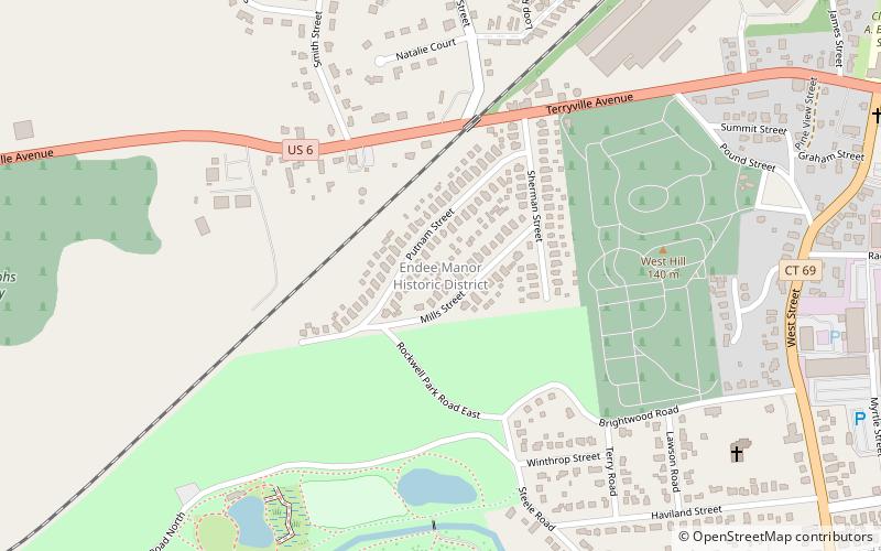
The Endee Manor Historic District encompasses a well-preserved and cohesive early 20th-century worker housing area in Bristol, Connecticut. Located on Sherman, Mills and Putnam Streets, the area was built out in a four-month period in 1916-17, and is the largest such development in the city. It was listed on the National Register of Historic Places in 1996. ()
Coordinates: 41°40'44"N, 72°57'28"W
Address
Bristol
ContactAdd
Social media
Add
Day trips
Endee Manor Historic District – popular in the area (distance from the attraction)
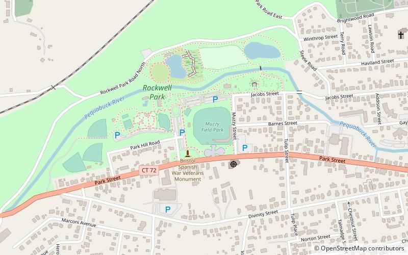
Nearby attractions include: Muzzy Field, American Clock & Watch Museum, Bristol Historical Society Museum, Rockwell Park.
Frequently Asked Questions (FAQ)
Which popular attractions are close to Endee Manor Historic District?
Nearby attractions include Rockwell Park, Bristol (8 min walk), Muzzy Field, Bristol (11 min walk), St. Stanislaus Parish, Bristol (12 min walk), Bristol Historical Society Museum, Bristol (19 min walk).


