South End Historic District, Bristol
Map

Map

Facts and practical information
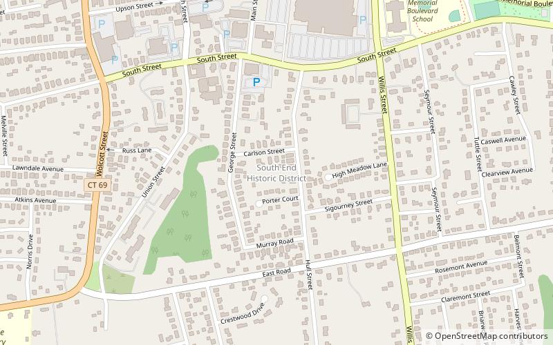
The South End Historic District encompasses one of the oldest residential areas of Bristol, Connecticut. Extending south from South Street along George and Hull Streets, this area's growth as a residential area's mirror's the city's growth as an industrial center from the second quarter of the 19th century, and includes a well-preserved diversity of residential architecture to the mid-20th century. It was listed on the National Register of Historic Places in 2001. ()
Area: 40 acres (0.0625 mi²)Coordinates: 41°39'55"N, 72°56'33"W
Address
Bristol
ContactAdd
Social media
Add
Day trips
South End Historic District – popular in the area (distance from the attraction)
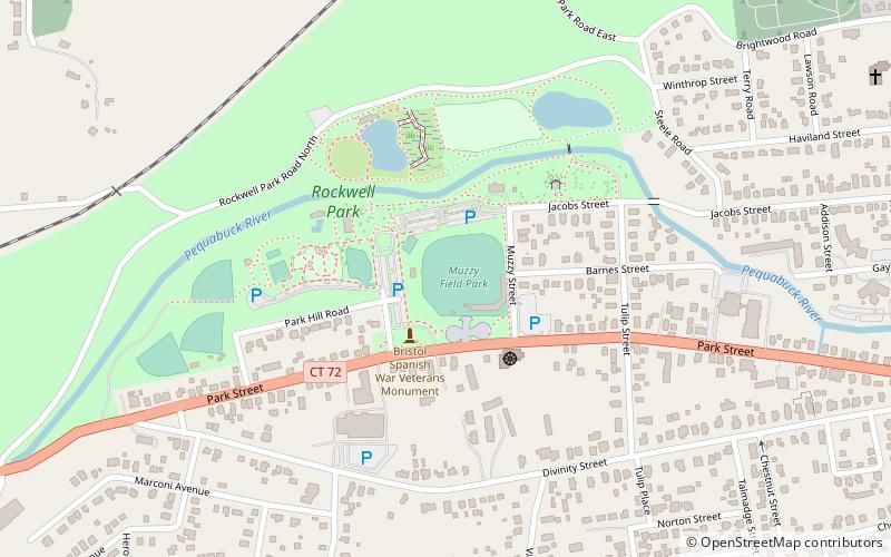
Nearby attractions include: Muzzy Field, American Clock & Watch Museum, Bristol Historical Society Museum, Rockwell Park.
Frequently Asked Questions (FAQ)
Which popular attractions are close to South End Historic District?
Nearby attractions include Imagine Nation, Bristol (10 min walk), The New England Carousel Museum, Bristol (11 min walk), Bristol Public Library, Bristol (15 min walk), Bristol Historical Society Museum, Bristol (20 min walk).


