Stokesdale Historic District, Durham
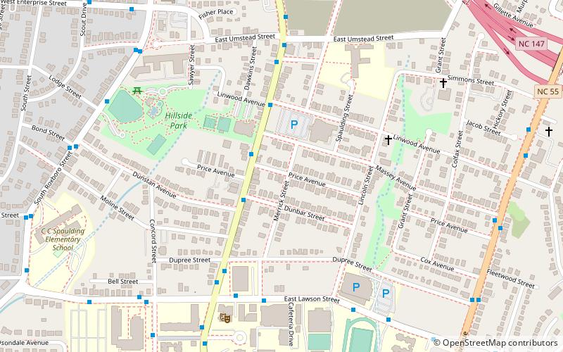
Map
Facts and practical information
Stokesdale Historic District is a national historic district located at Durham, Durham County, North Carolina. The district encompasses 227 contributing buildings, 1 contributing site, and 1 contributing structure in a historically African-American residential section of Durham. The buildings primarily date between about 1912 and 1960 and include notable examples of Queen Anne, Colonial Revival, Tudor Revival, and Bungalow / American Craftsman architecture. Notable buildings include Page's Grocery, College Inn, Covenant United Presbyterian Church, and Seventh Day Adventist Church. ()
Coordinates: 35°58'46"N, 78°53'56"W
Address
Durham
ContactAdd
Social media
Add
Getting there by public transportation
Public transportation stops near this location
- Bus
 Bus
Bus
- Calculate routeFayetteville St at Lawson St 6 min walk
- Calculate routeLawson St at Merrick St 6 min walk
- Calculate routeLawson Ave at Fayetteville St 6 min walk
Day trips
Stokesdale Historic District – popular in the area (distance from the attraction)
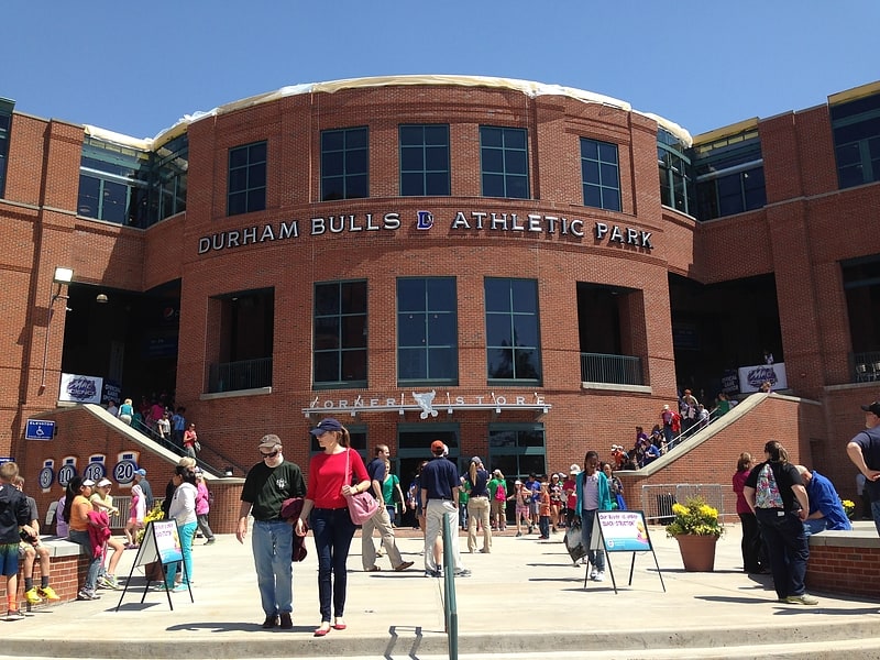
Nearby attractions include: Durham Bulls Athletic Park, American Tobacco Trail, Durham Performing Arts Center, Downtown Durham Historic District.


Frequently Asked Questions (FAQ)
Which popular attractions are close to Stokesdale Historic District?
Nearby attractions include North Carolina Central University, Durham (10 min walk), Hayti Heritage Center/St. Joseph's Historic Foundation, Durham (11 min walk), St. Joseph's African Methodist Episcopal Church, Durham (13 min walk), Durham Hosiery Mill, Durham (19 min walk).
How to get to Stokesdale Historic District by public transport?
The nearest stations to Stokesdale Historic District:
Bus
Bus
- Fayetteville St at Lawson St • Lines: 5, 5K (6 min walk)
- Lawson St at Merrick St • Lines: 8 (6 min walk)