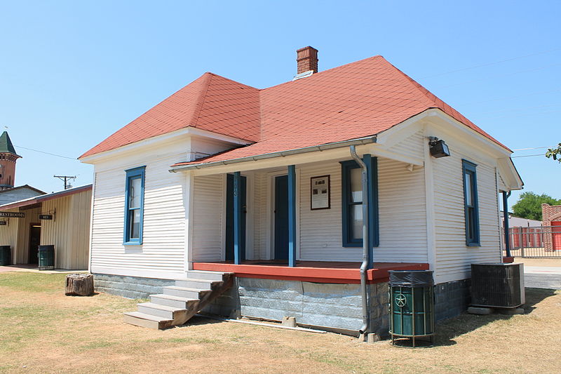
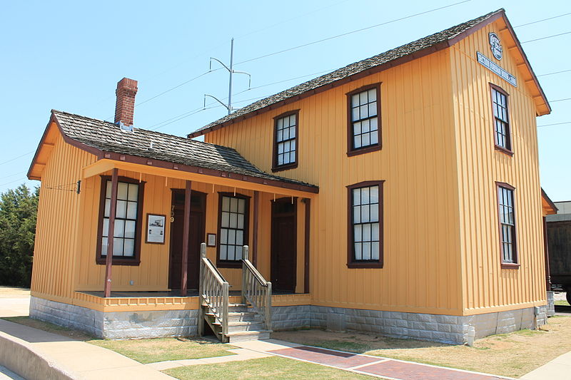
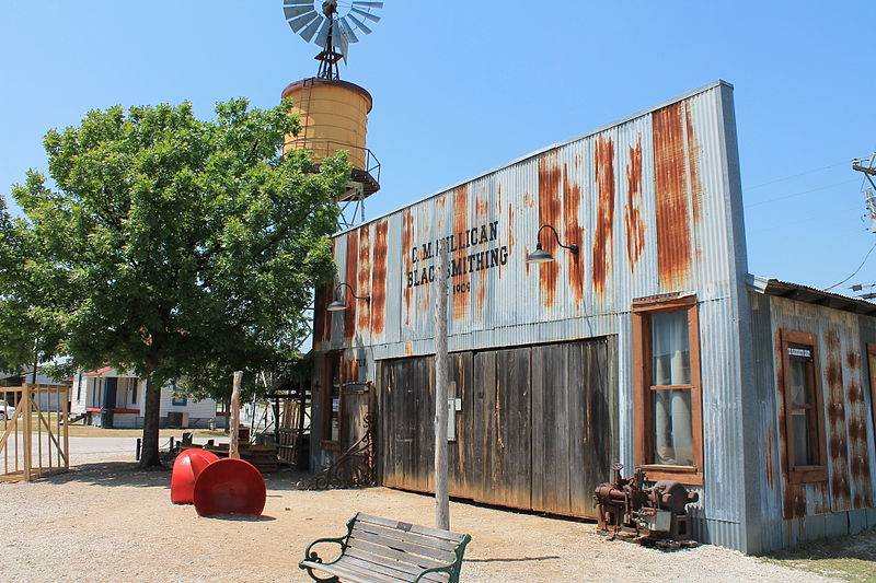
Cotton Belt Railroad Industrial Historic District, Fort Worth
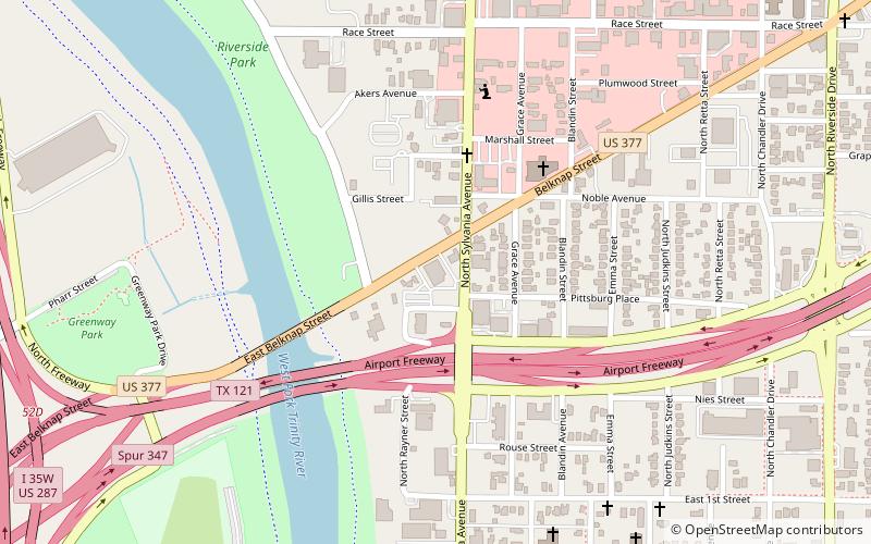
Map
Gallery
Facts and practical information
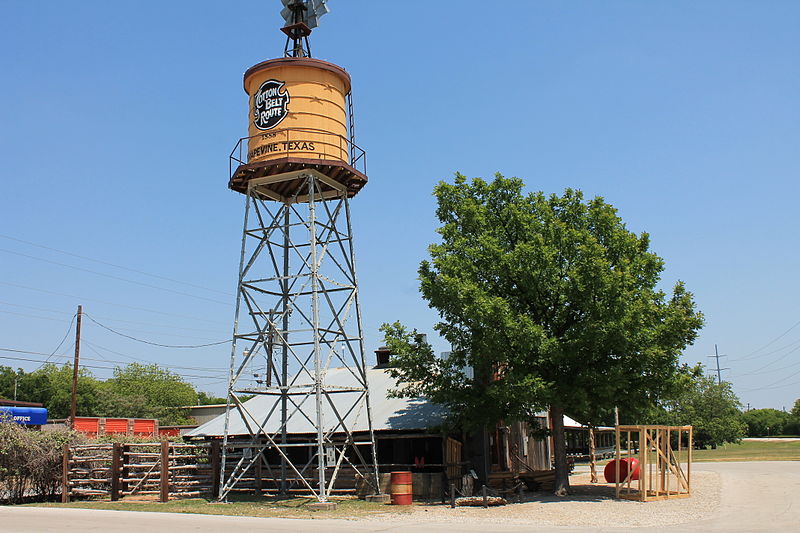
Cotton Belt Railroad Industrial Historic District is located in the eastern part of Grapevine, Texas. ()
Area: 13.7 acres (0.0214 mi²)Coordinates: 32°45'32"N, 97°19'38"W
Address
Downtown Fort WorthFort Worth
ContactAdd
Social media
Add
Day trips
Cotton Belt Railroad Industrial Historic District – popular in the area (distance from the attraction)
Nearby attractions include: Stagecoach Ballroom, Fort Worth Convention Center, LaGrave Field, Bass Performance Hall.
Frequently Asked Questions (FAQ)
Which popular attractions are close to Cotton Belt Railroad Industrial Historic District?
Nearby attractions include Elizabeth Boulevard Historic District, Fort Worth (1 min walk), Henderson Street Bridge, Fort Worth (1 min walk), Thomas J. and Elizabeth Nash Farm, Fort Worth (1 min walk), Sundance Square, Fort Worth (1 min walk).
How to get to Cotton Belt Railroad Industrial Historic District by public transport?
The nearest stations to Cotton Belt Railroad Industrial Historic District:
Bus
Train
Bus
- Greyhound Station (12 min walk)
- F • Lines: 46 (13 min walk)
Train
- Fort Worth Central (12 min walk)
- Fort Worth T&P (24 min walk)


