Public School 9 and Public School 9 Annex, Sea Gate
Map
Facts and practical information
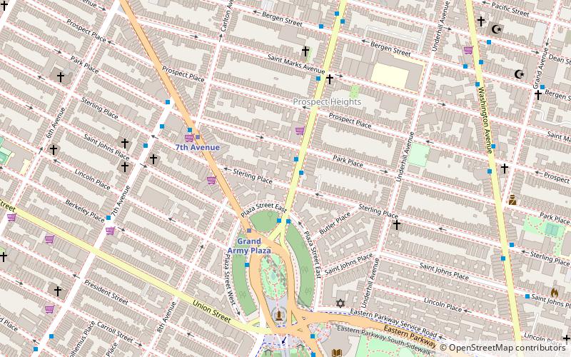
Public School 9 and Public School 9 Annex are two historic school buildings located at 249 and 251 Sterling Place, respectively, at Vanderbilt Avenue in the Prospect Heights neighborhood of Brooklyn, New York City. ()
Coordinates: 40°40'34"N, 73°58'11"W
Address
Northwestern Brooklyn (Prospect Heights)Sea Gate
ContactAdd
Social media
Add
Getting there by public transportation
Public transportation stops near this location
- Metro
- Bus
- Train
 Metro
Metro
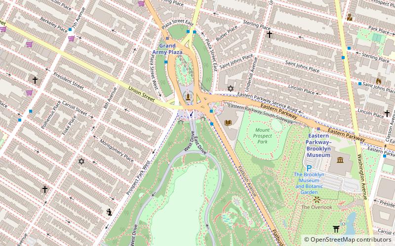
- Calculate routeGrand Army Plaza 3 min walk
- Calculate route7th Avenue 6 min walk
- Calculate routeAtlantic Terminal 19 min walk
- Calculate routeNostrand Avenue 29 min walk
- Calculate route9th Street & 8th Avenue 23 min walk
- Calculate routeProspect Park West & Bartel Pritchard Square 30 min walk
Day trips
Public School 9 and Public School 9 Annex – popular in the area (distance from the attraction)
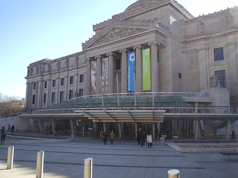
Nearby attractions include: Brooklyn Museum, Brooklyn Botanic Garden, Barclays Center, Church of St. Luke and St. Matthew.


Frequently Asked Questions (FAQ)
Which popular attractions are close to Public School 9 and Public School 9 Annex?
Nearby attractions include Montauk Club, New York City (4 min walk), Prospect Heights, Sea Gate (4 min walk), Grand Army Plaza, New York City (4 min walk), Bailey Fountain, Sea Gate (4 min walk).
How to get to Public School 9 and Public School 9 Annex by public transport?
The nearest stations to Public School 9 and Public School 9 Annex:
Metro
Train
Bus
Metro
- Grand Army Plaza • Lines: 2, 3, 4 (3 min walk)
- 7th Avenue • Lines: B, Q (6 min walk)
Train
- Atlantic Terminal (19 min walk)
- Nostrand Avenue (29 min walk)
Bus
- 9th Street & 8th Avenue • Lines: B61 (23 min walk)
- Prospect Park West & Bartel Pritchard Square • Lines: B61 (30 min walk)