Grosscup Road Historic District, Charleston
Map

Map

Facts and practical information
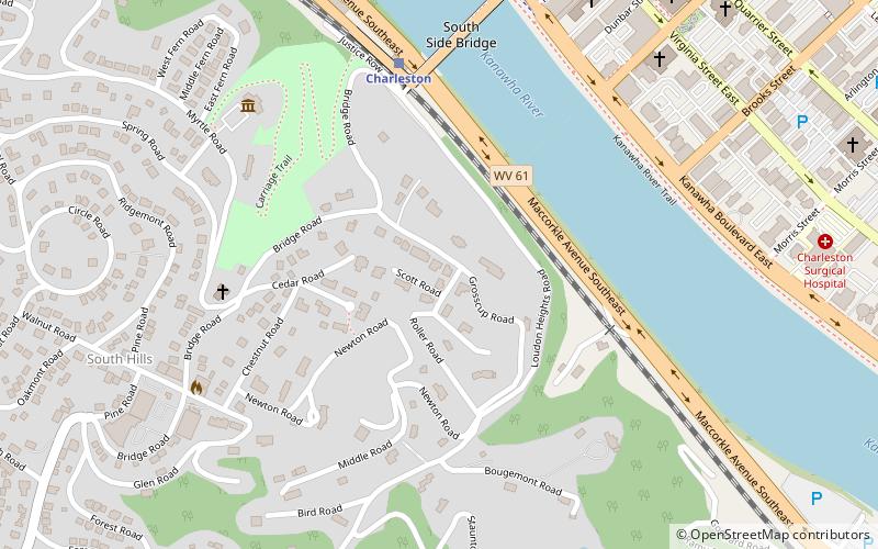
Grosscup Road Historic District is a national historic district located at Charleston, West Virginia. The district is a neighborhood of 22, 19th and early 20th century residences. They are architecturally and historically significant residences that were, and remain today, the residences of Charleston's prominent industrial, commercial, and political families. ()
Coordinates: 38°20'35"N, 81°38'15"W
Address
South HillsCharleston
ContactAdd
Social media
Add
Day trips
Grosscup Road Historic District – popular in the area (distance from the attraction)
Nearby attractions include: Charleston Town Center, Appalachian Power Park, Charleston Coliseum & Convention Center, Clay Center.
Frequently Asked Questions (FAQ)
Which popular attractions are close to Grosscup Road Historic District?
Nearby attractions include Summers House, Charleston (5 min walk), Thomas-McJunkin-Love House, Charleston (6 min walk), Bougemont Complex, Charleston (7 min walk), Sunrise, Charleston (7 min walk).
How to get to Grosscup Road Historic District by public transport?
The nearest stations to Grosscup Road Historic District:
Train
Bus
Train
- Charleston (6 min walk)
Bus
- Greyhound Bus Station (25 min walk)


