Hunter Hills, Atlanta
Facts and practical information
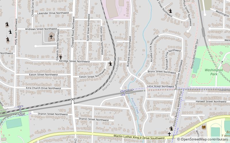
Hunter Hills is a neighborhood located west of downtown Atlanta, Georgia, United States. Its motto, "One Community, One Family", has been its cornerstone since 2001. The neighborhood is encompassed in the 30314 zip code. Hunter Hills shares borders with Mozley Park, Dixie Hills and West Lake neighborhoods. The neighborhood rests just inside Atlanta's perimeter highway I-285, and U.S. Route 78. The schools that serve the neighborhood are Stanton Elementary, Carter G. Woodson Elementary School, Ron Clark Academy, Herndon Elementary and Washington High School, and the Atlanta Job Corps. City of Refuge, a community-based 501 non-profit, was established on the 1300 block of Joseph E. Boone Blvd. in 2003 and helps to bring transformation to individuals and families through services including housing, health and wellness, vocational training, and youth development. ()
Northwest Atlanta (Hunter Hills)Atlanta
- Metro
 Metro
Metro
- Calculate routeAshby 20 min walk
- Calculate routeWest Lake 24 min walk
- Calculate routeBankhead 26 min walk


Frequently Asked Questions (FAQ)
Which popular attractions are close to Hunter Hills?
How to get to Hunter Hills by public transport?
Metro
- Ashby • Lines: Blue, Green (20 min walk)
- West Lake • Lines: Blue (24 min walk)