Cheyenne Flour Milling Company, Cheyenne


Facts and practical information
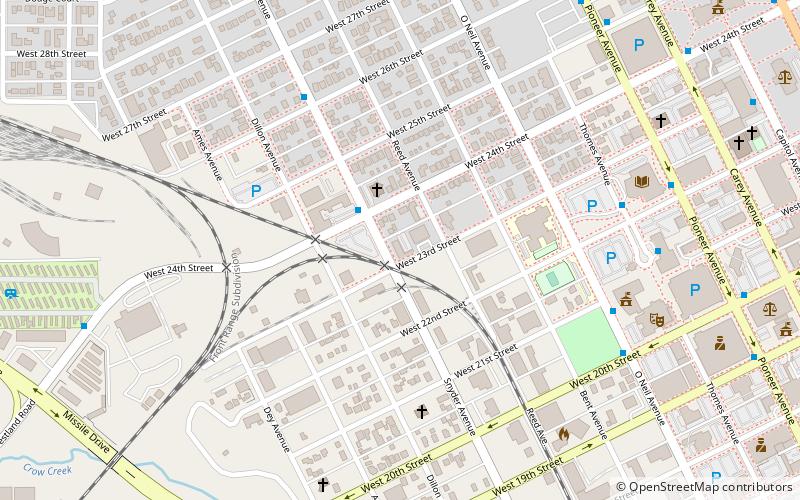
The Cheyenne Flour Milling Company, also known as the Standard Oil Company and Salt Creek Freightways, is an early warehouse building in Cheyenne, Wyoming. The structure was built in 1927 to house goods brought to and from Cheyenne by the Union Pacific Railroad in an industrial section of Cheyenne as a flour mill, replacing structures that had performed similar functions since 1915. By 1931 the building was shared by a warehouse for electrical parts for the Mountain States Telephone and Telegraph Company, a potato chip factory and a chemical products company. In 1937-38 the Standard Oil Company started to use the warehouse for bulk petroleum products storage, continuing to 1963. From 1963 the building was used by Salt Creek Freightways, which had shared use from 1936. In 1973 it became a plumbing parts warehouse, and by 2003 was owned and used by a general contractor. ()
Historic CheyenneCheyenne
Cheyenne Flour Milling Company – popular in the area (distance from the attraction)
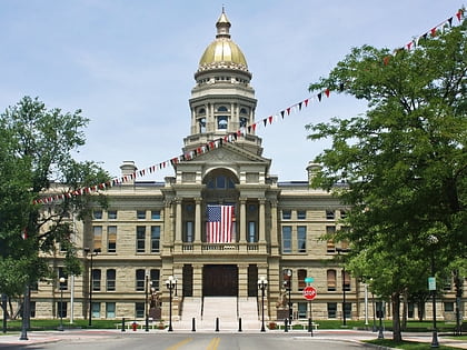
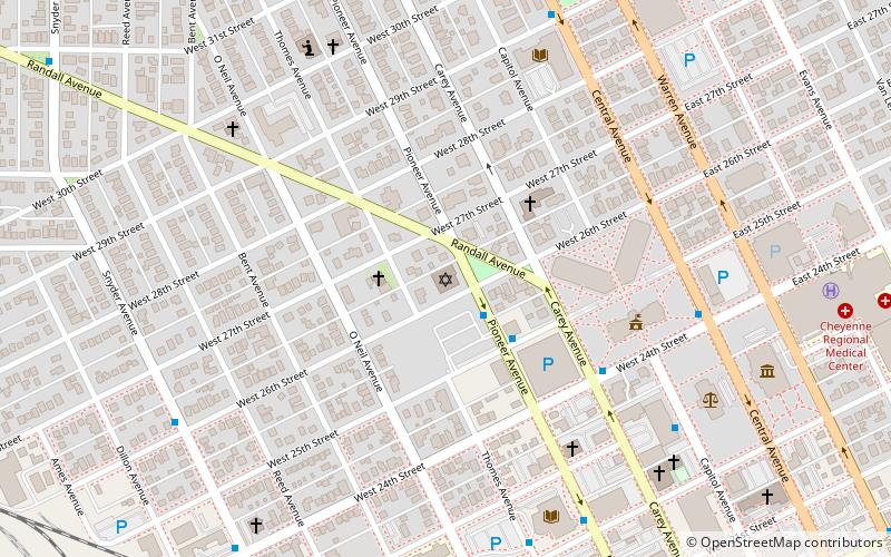
Nearby attractions include: Wyoming State Capitol, Wyoming State Museum, St. Mary's Catholic Cathedral, Joseph C. O'Mahoney Federal Center.
Frequently Asked Questions (FAQ)
Which popular attractions are close to Cheyenne Flour Milling Company?
How to get to Cheyenne Flour Milling Company by public transport?
Bus
- Snyder & 24th St • Lines: West (2 min walk)
- Burke High Rise • Lines: Downtown (8 min walk)


