Lower Queen Anne, Seattle
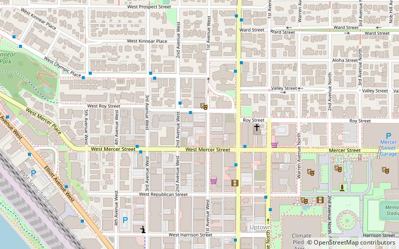
Map
Gallery
Facts and practical information
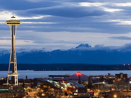
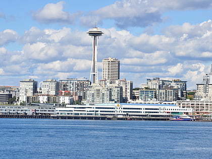
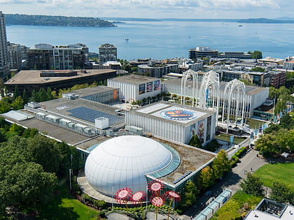
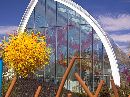
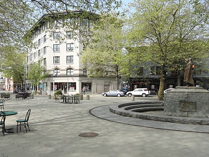
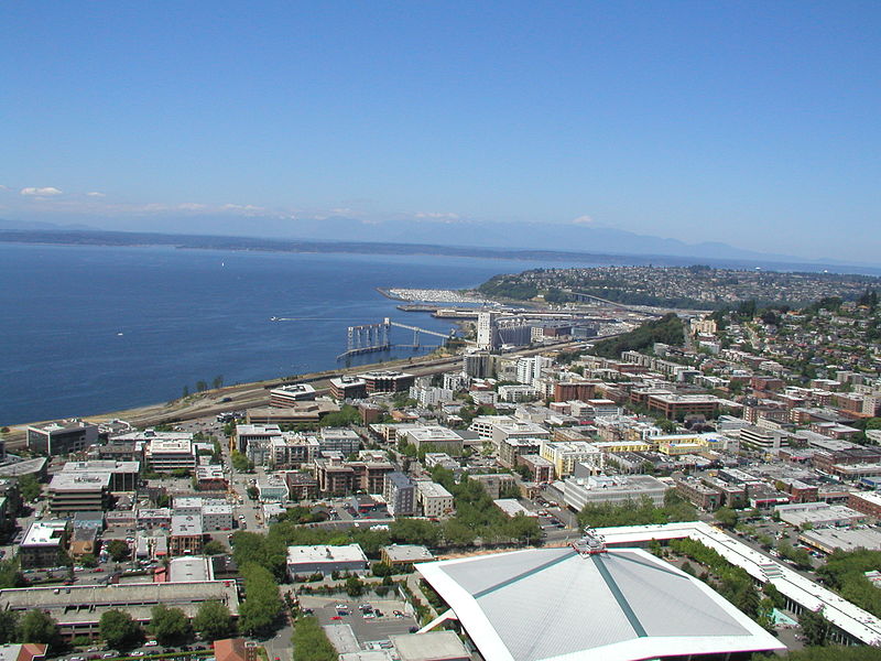
Lower Queen Anne is a neighborhood in Seattle, Washington, at the base of Queen Anne Hill. While its boundaries are not precise, the toponym usually refers to the shopping, office, and residential districts to the north and west of Seattle Center. The neighborhood is connected to Upper Queen Anne—the shopping district at the top of the hill—by an extremely steep section of Queen Anne Avenue N. known as the Counterbalance, in memory of the cable cars that once ran up and down it. ()
Area: 0.62 mi²Coordinates: 47°37'31"N, 122°21'30"W
Address
621 1st Avenue WestLower Queen AnneSeattle
ContactAdd
Social media
Add
Day trips
Lower Queen Anne – popular in the area (distance from the attraction)
Nearby attractions include: Seattle Center, Space Needle, Museum of Pop Culture, Pacific Science Center.
Frequently Asked Questions (FAQ)
Which popular attractions are close to Lower Queen Anne?
Nearby attractions include On the Boards, Seattle (1 min walk), Seattle Repertory Theatre, Seattle (6 min walk), Mercer Street, Seattle (7 min walk), Kerry Park, Seattle (8 min walk).
How to get to Lower Queen Anne by public transport?
The nearest stations to Lower Queen Anne:
Bus
Train
Ferry
Tram
Trolleybus
Light rail
Bus
- Mercer St & Queen Anne Ave N • Lines: 32, 8, D (3 min walk)
- Queen Anne Ave N & W Mercer St • Lines: 2, 29, 32, 8, D (3 min walk)
Train
- Seattle Center (13 min walk)
- Westlake Center (35 min walk)
Ferry
- Seattle • Lines: Seattle-Victoria (22 min walk)
Tram
- Westlake & Mercer • Lines: South Lake Union Streetcar (24 min walk)
- Terry & Thomas • Lines: South Lake Union Streetcar (27 min walk)
Trolleybus
- 3rd Ave & Virginia St • Lines: 1, 13, 2, 3, 4 (31 min walk)
Light rail
- Westlake • Lines: 1 (36 min walk)

