Monadnock Road Historic District, Newton
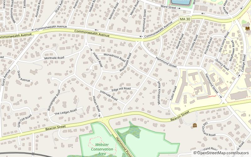
Map
Map

Facts and practical information
The Monadnock Road Historic District is a residential historic district encompassing a cohesive subdivision of a former estate in the 1920s in the Chestnut Hill section of Newton, Massachusetts. The development was typical of Newton's explosive residential growth at that time, and includes primarily Tudor Revival houses. The district was listed on the National Register of Historic Places in 1990. ()
Coordinates: 42°20'3"N, 71°10'47"W
Address
Newton (Chestnut Hill)Newton
ContactAdd
Social media
Add
Day trips
Monadnock Road Historic District – popular in the area (distance from the attraction)
Nearby attractions include: Alumni Stadium, The Shops at Chestnut Hill, Piccadilly Square, Newton Commonwealth Golf Course.
Frequently Asked Questions (FAQ)
Which popular attractions are close to Monadnock Road Historic District?
Nearby attractions include Dupee Estate–Mary Baker Eddy Home, Newton (6 min walk), Hammond House, Newton (10 min walk), Gray Cliff Historic District, Newton (11 min walk), Adams Claflin House, Newton (11 min walk).
How to get to Monadnock Road Historic District by public transport?
The nearest stations to Monadnock Road Historic District:
Light rail
Bus
Light rail
- Newton Centre • Lines: D (19 min walk)
- Boston College • Lines: B (20 min walk)
Bus
- Tremont St @ Tremont Pl • Lines: 57 (31 min walk)
- Washington St @ Breck Ave • Lines: 57 (34 min walk)


