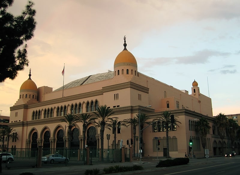
Shrine Exposition Hall, Los Angeles
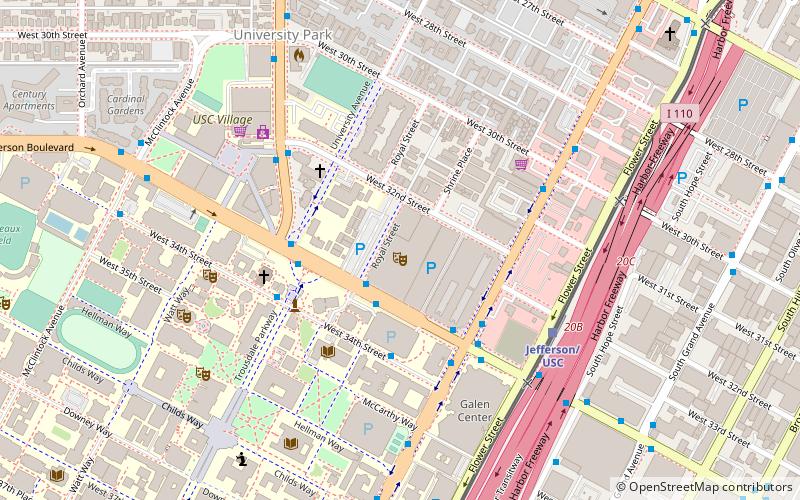
Map
Facts and practical information
The Shrine Exposition Hall is a multi-purpose event facility located in Los Angeles, California, adjacent to the Shrine Auditorium. It features 54,000 square feet of exhibit and meeting space—34,000 in the main level and 20,000 in an open mezzanine. The Exposition Hall has a capacity of 5,000 patrons. Trade shows, banquets, conventions and electronic music festivals, among other events, have been held there. ()
Coordinates: 34°1'25"N, 118°16'53"W
Address
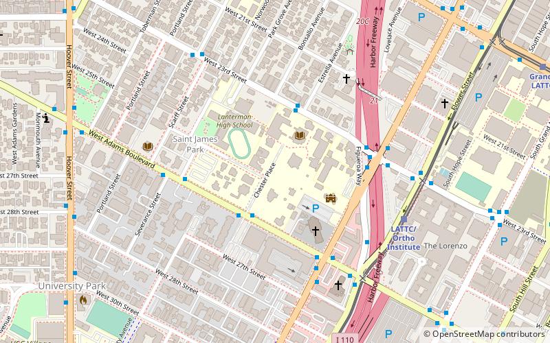
South Los Angeles (University Park)Los Angeles
ContactAdd
Social media
Add
Getting there by public transportation
Public transportation stops near this location
- Bus
- Light rail
 Bus
Bus
- Calculate routeJefferson/USC 6 min walk
- Calculate routeExpo Park/USC 12 min walk
- Calculate routeLATTC/Ortho Institute 15 min walk
- Calculate routeExpo/Vermont 18 min walk
- Calculate routeLos Angeles 9 min walk
- Calculate route37th Street/USC 11 min walk
- Calculate routeFlower Street & Adams Boulevard 12 min walk
- Calculate routeHOV Roadway & Adams Boulevard 14 min walk
Maps Metro & Regional Rail
Metro & Regional RailDay trips
Shrine Exposition Hall – popular in the area (distance from the attraction)
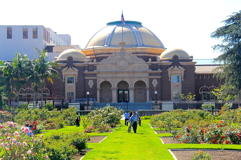
Nearby attractions include: Exposition Park Rose Garden, Galen Center, California African American Museum, Uytengsu Aquatics Center.


Frequently Asked Questions (FAQ)
Which popular attractions are close to Shrine Exposition Hall?
Nearby attractions include Shrine Auditorium, Los Angeles (2 min walk), Leavey Library, Los Angeles (4 min walk), Galen Center, Los Angeles (6 min walk), Doheny Library, Los Angeles (7 min walk).
How to get to Shrine Exposition Hall by public transport?
The nearest stations to Shrine Exposition Hall:
Light rail
Bus
Light rail
- Jefferson/USC • Lines: E (6 min walk)
- Expo Park/USC • Lines: E (12 min walk)
Bus
- Los Angeles • Lines: 2000, 2009 (9 min walk)
- 37th Street/USC (11 min walk)