Jingletown, Oakland
Map
Facts and practical information
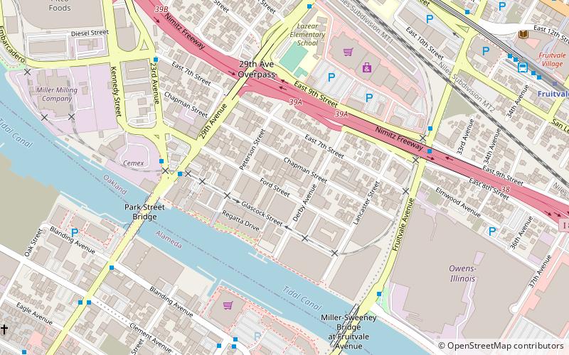
Jingletown is a pocket arts community in Oakland, California, adjacent to the Oakland Estuary, and about two miles southeast of Lake Merritt. It is bounded by the Coast Guard Island Bridge and Fruitvale Bridges, which connect Oakland to the City of Alameda. It is part of the area called Fruitvale in East Oakland. Many working artists live in converted lofts that are common in the area. ()
Coordinates: 37°46'21"N, 122°13'56"W
Getting there by public transportation
Public transportation stops near this location
- Metro
- Bus
 Metro
Metro
- Calculate route23rd Avenue & 29th Avenue 6 min walk
- Calculate routeBlanding Avenue & Broadway 8 min walk
- Calculate route29th Avenue & East 10th Street 8 min walk
- Calculate routeBroadway & Blanding Avenue 8 min walk
- Calculate routeFruitvale 13 min walk
Day trips


Frequently Asked Questions (FAQ)
Which popular attractions are close to Jingletown?
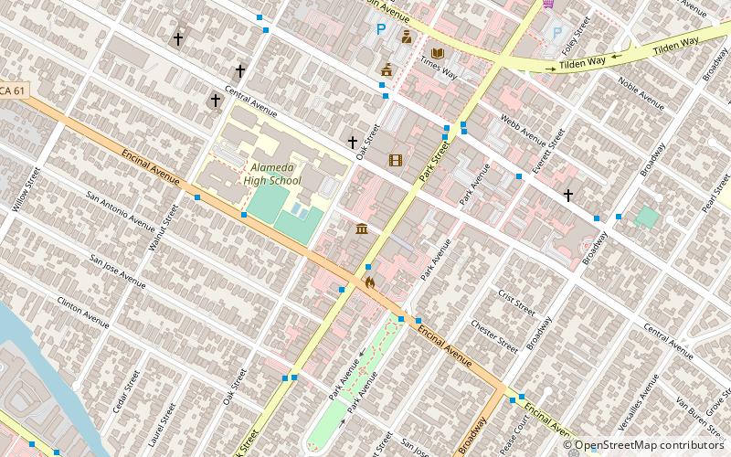
Nearby attractions include Park Street Bridge, Alameda (7 min walk), Fruitvale Bridge, Oakland (8 min walk), Norton Factory Studios, Oakland (9 min walk), Cohen Bray House, Oakland (14 min walk).
How to get to Jingletown by public transport?
The nearest stations to Jingletown:
Bus
Metro
Bus
- 23rd Avenue & 29th Avenue • Lines: 20, 21 (6 min walk)
- Blanding Avenue & Broadway • Lines: 19, 51A, 851 (8 min walk)
Metro
- Fruitvale • Lines: Blue, Green, Orange (13 min walk)