Zanesville YWCA, Zanesville
Map
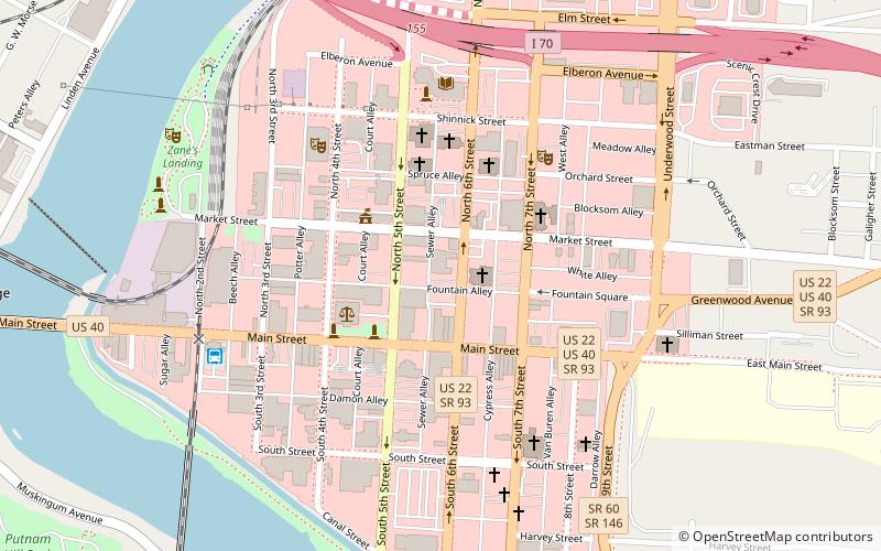
Map

Facts and practical information
The former Zanesville YWCA, located at 49 North 6th Street in Zanesville, Ohio, United States, is an historic building built in 1926 for members of the Young Women's Christian Association. It was designed by Howell & Thomas. On July 17, 1978, it was added to the National Register of Historic Places. It is now Bryan Place. ()
Coordinates: 39°56'28"N, 82°0'20"W
Address
Zanesville
ContactAdd
Social media
Add
Day trips
Zanesville YWCA – popular in the area (distance from the attraction)
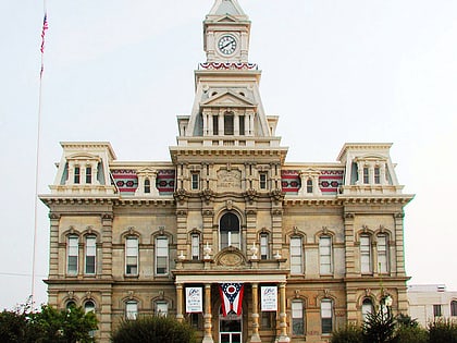
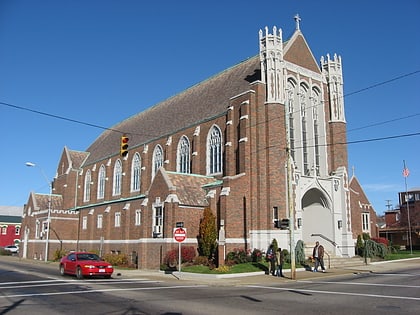
Nearby attractions include: St. Thomas Aquinas Church, Muskingum County Courthouse, St. John's Lutheran Church, St. James Episcopal Church.
Frequently Asked Questions (FAQ)
Which popular attractions are close to Zanesville YWCA?
Nearby attractions include Muskingum County Courthouse, Zanesville (3 min walk), St. John's Lutheran Church, Zanesville (3 min walk), St. Thomas Aquinas Church, Zanesville (4 min walk), St. James Episcopal Church, Zanesville (4 min walk).
How to get to Zanesville YWCA by public transport?
The nearest stations to Zanesville YWCA:
Bus
Bus
- SEAT Bus Terminal (7 min walk)

