Peacock Alley, St. Louis
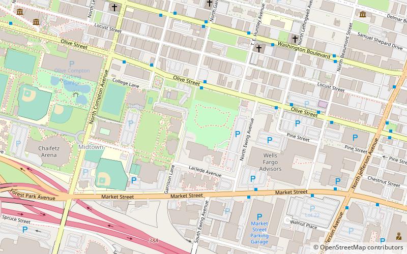
Map
Facts and practical information
Peacock Alley was one of St. Louis's most important jazz clubs in the 1950s. It was located in the former Mill Creek Valley neighborhood at 2935 Lawton Boulevard. It was close to Union Station, so it was favored among musicians due to the proximity. The venue was initially opened in 1944 in the basement of Midtown Hotel as the Glass Bar. In 1955, the Glass Bar was remodeled and renamed to Peacock Alley. Some sources report that it was located in Gaslight Square, although this is incorrect. It attracted performances from Miles Davis, John Coltrane, the Chet Baker Quartet, J.J. Johnson, Max Roach, Kai Winding, Art Blakey and many others. ()
Coordinates: 38°38'0"N, 90°13'18"W
Address
MidtownSt. Louis
ContactAdd
Social media
Add
Getting there by public transportation
Public transportation stops near this location
- Bus
- Light rail
- Train
 Bus
Bus
- Calculate routeGrand 20 min walk
- Calculate routeUnion Station 24 min walk
- Calculate routeCivic Center 30 min walk
- Calculate routeSaint Louis 30 min walk
- Calculate routeP 30 min walk
- Calculate routeN 30 min walk
- Calculate routeO 30 min walk
- Calculate routeL 30 min walk
Day trips


Frequently Asked Questions (FAQ)
Which popular attractions are close to Peacock Alley?
Nearby attractions include Central Baptist Church, St. Louis (6 min walk), More Automobile Company Building, St. Louis (7 min walk), Locust Street Automotive District, St. Louis (8 min walk), Cadillac Automobile Company Building, St. Louis (9 min walk).
How to get to Peacock Alley by public transport?
The nearest stations to Peacock Alley:
Light rail
Train
Bus
Light rail
- Grand • Lines: Blue, Red (20 min walk)
- Union Station • Lines: Blue, Red (24 min walk)
Train
- Saint Louis (30 min walk)
Bus
- P • Lines: 174X (30 min walk)
- N • Lines: 74 (30 min walk)