Chief Sealth Trail, Seattle
Map
Map

Facts and practical information
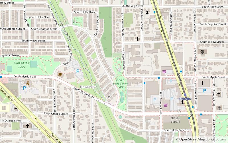
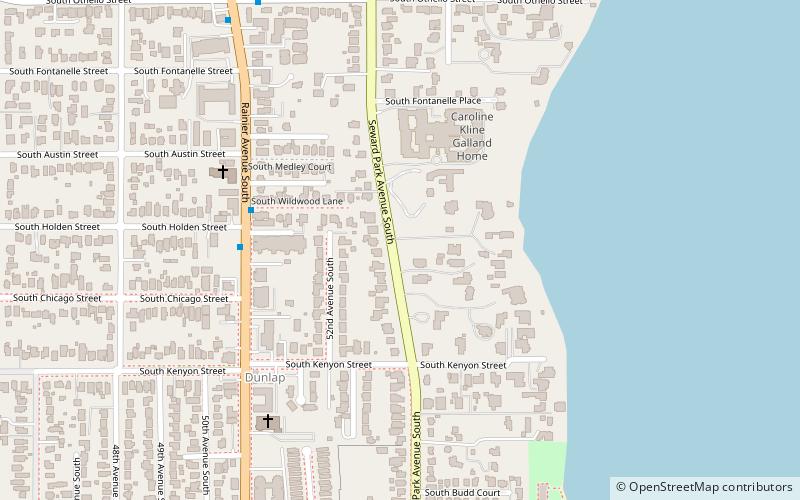
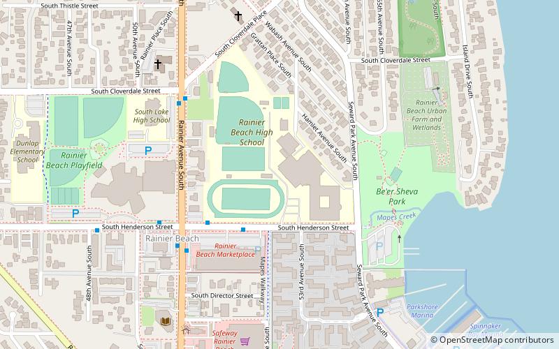
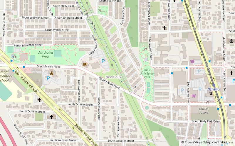
The Chief Sealth Trail is a multi-use recreational trail in Seattle, Washington. ()
Coordinates: 47°32'19"N, 122°17'19"W
Address
Beacon Hill (Holly Park)Seattle
ContactAdd
Social media
Add
Day trips
Chief Sealth Trail – popular in the area (distance from the attraction)
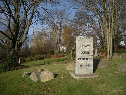
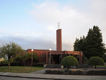
Nearby attractions include: Beer Sheva Park, South Park Bridge, Comet Lodge Cemetery, Sephardic Bikur Holim Congregation.
Frequently Asked Questions (FAQ)
How to get to Chief Sealth Trail by public transport?
The nearest stations to Chief Sealth Trail:
Bus
Light rail
Bus
- 38th Avenue S & S Myrtle St • Lines: 50 (5 min walk)
- Martin L King Jr Way S & S Myrtle St • Lines: 106 (8 min walk)
Light rail
- Othello • Lines: 1 (9 min walk)
- Rainier Beach • Lines: 1 (31 min walk)

