South Park Bridge, Seattle
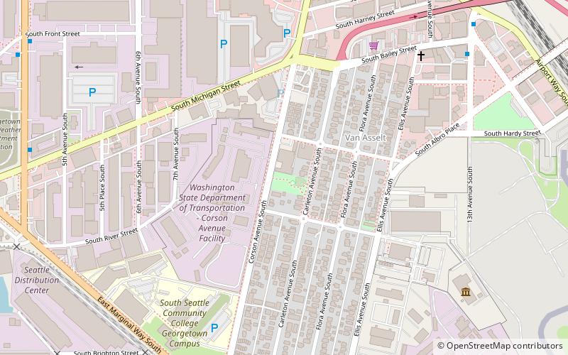
Map
Gallery
Facts and practical information
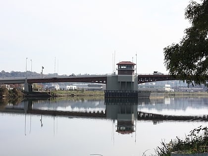
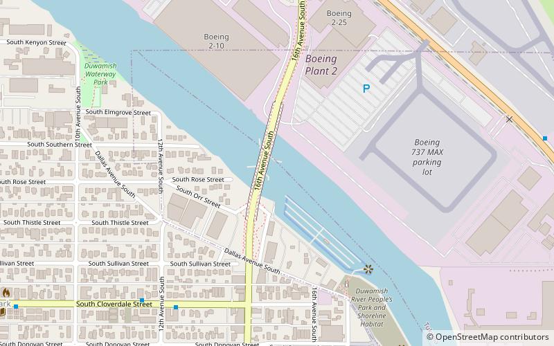
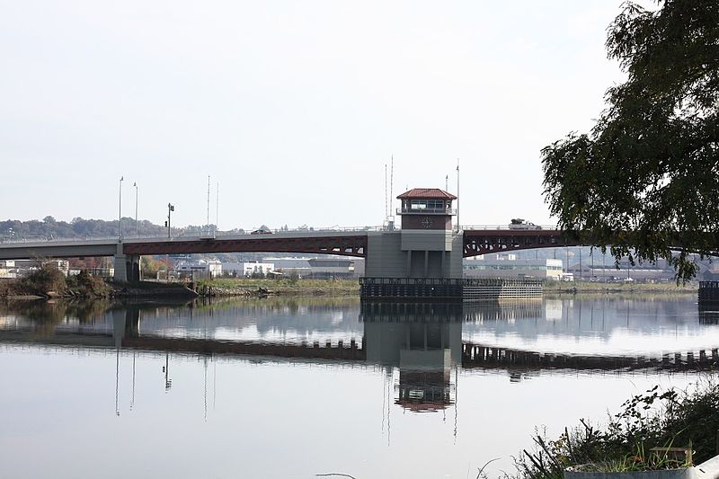
The South Park Bridge is a Scherzer rolling lift double-leaf bascule bridge in Seattle, Washington, United States. The bridge is operated by the King County government, It carries automobile traffic over the Duwamish River near Boeing Field, just outside the city limits of Seattle, and is named for the nearby South Park neighborhood of Seattle. It was listed on the National Register of Historic Places in 1982, as the 14th Avenue South Bridge. ()
Opened: 1931 (95 years ago)Length: 1285 ftCoordinates: 47°31'45"N, 122°18'50"W
Address
16TH Ave SWest Seattle (South Park)Seattle
ContactAdd
Social media
Add
Day trips
South Park Bridge – popular in the area (distance from the attraction)
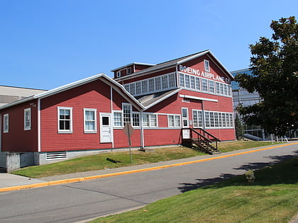
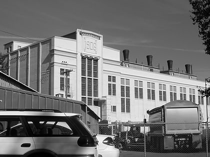
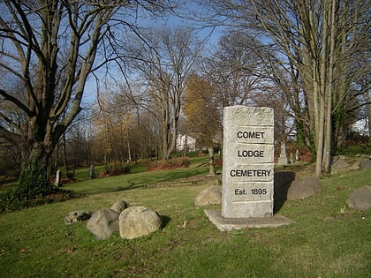
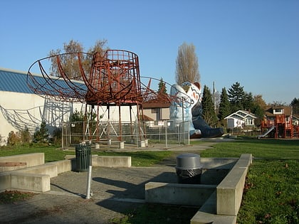
Nearby attractions include: Museum of Flight, Hat 'n' Boots, Georgetown Steam Plant, Comet Lodge Cemetery.
Frequently Asked Questions (FAQ)
Which popular attractions are close to South Park Bridge?
Nearby attractions include Marra Farm, Seattle (22 min walk), Connections Museum, Seattle (24 min walk).
How to get to South Park Bridge by public transport?
The nearest stations to South Park Bridge:
Bus
Bus
- S Cloverdale St & 12th Ave S • Lines: 132, 60 (7 min walk)
- 16th Ave S & East Marginal Way S • Lines: 60 (8 min walk)
