Charles, Providence
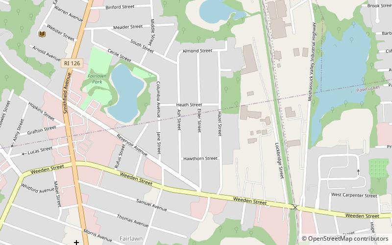
Map
Facts and practical information
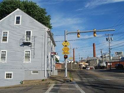
Charles is a neighborhood in northern Providence, Rhode Island. Along with Wanskuck, it comprises what is sometimes referred to as the North End. To the west Charles is partitioned from Wanskuck by Route 146, while the Chad Brown public housing complex separates Charles from Smith Hill to the south, and the West River and Interstate 95 bounds the area to the east. The city limits abutting the city of North Providence bound Charles to the north. ()
Coordinates: 41°52'48"N, 71°24'36"W
Address
FairlawnProvidence
ContactAdd
Social media
Add
Day trips
Charles – popular in the area (distance from the attraction)
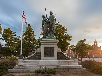
Nearby attractions include: Jenks Park & Cogswell Tower, Rock Spot Climbing, Central Falls, Liberty Arming the Patriot.
Frequently Asked Questions (FAQ)
Which popular attractions are close to Charles?
Nearby attractions include Mixed Magic Theatre, Pawtucket (15 min walk), Holy Trinity Church, Pawtucket (20 min walk), St. John the Baptist Church, Pawtucket (20 min walk), St. Matthew's Church, Pawtucket (21 min walk).


