James Street Commons Historic District, Newark
Map

Map

Facts and practical information
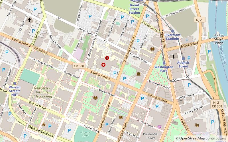
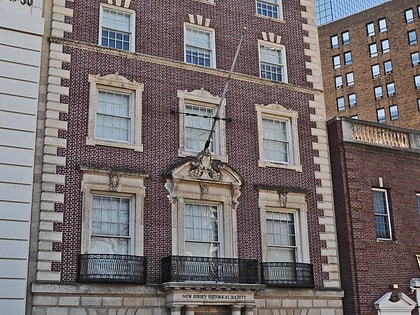
The James Street Commons Historic District is a 65-acre historic district located in Newark, Essex County, New Jersey, United States. The district was added to the National Register of Historic Places on January 9, 1978, for its significance in architecture, art, community planning and development, education, industry, and social history. There was a small boundary increase on September 22, 1983. ()
Area: 64.6 acres (0.1009 mi²)Coordinates: 40°44'36"N, 74°10'25"W
Address
University HeightsNewark
ContactAdd
Social media
Add
Day trips
James Street Commons Historic District – popular in the area (distance from the attraction)
Nearby attractions include: Prudential Center, New Jersey Performing Arts Center, The Newark Museum of Art, Aljira.
Frequently Asked Questions (FAQ)
Which popular attractions are close to James Street Commons Historic District?
Nearby attractions include The Newark Museum of Art, Newark (3 min walk), Pro-Cathedral of Saint Patrick in Newark, Newark (3 min walk), John Ballantine House, Newark (4 min walk), Newark Public Library, Newark (5 min walk).
How to get to James Street Commons Historic District by public transport?
The nearest stations to James Street Commons Historic District:
Light rail
Train
Bus
Metro
Light rail
- Washington Park • Lines: Nlr (6 min walk)
- Atlantic Street • Lines: Nlr (8 min walk)
Train
- Newark Broad Street (8 min walk)
- Newark Penn Station (21 min walk)
Bus
- Broad St & Market St • Lines: 62 (14 min walk)
- Newark Penn Bus Terminal (21 min walk)
Metro
- Newark Penn Station • Lines: Nwk–Wtc (21 min walk)
- Harrison • Lines: Nwk–Wtc (25 min walk)


